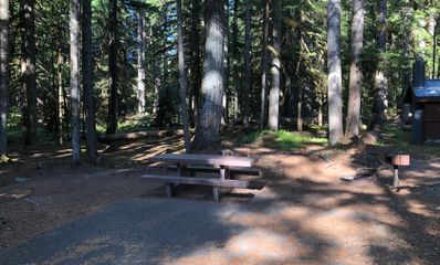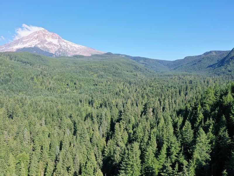

Lost Creek is a small Forest Service campground in tall old firs beside Lost Creek, a mile and a half past McNeil and an hour and a half from Portland. It was built to be barrier-free from end to end: the sites, a fishing platform and a paved nature trail that tells how the valley was made.
Sites A1 to A11 are on the loop road, two of them with canvas yomes; B1 to B5 are walk-to sites a short way off it. Our note calls the creek drinkable but doesn’t recommend it; there is drinking water at the campground.
Quick facts
- Sites
- Nine standard sites and five walk-to sites (Recreation.gov); yomes at A9 and A11 in our photos
- Booking
- At Recreation.gov
- Season (2026)
- May 22 to September 30
- Fees (2026)
- $25 a night, $8 for an extra vehicle, $60 a yome; day use $10
- Water
- Drinking water
- Toilets
- Accessible vault toilets
- Access
- Barrier-free: the sites, the fishing platform and the nature trail
- Vehicles
- Up to 22 feet
- Elevation
- About 2,600 feet
- From Portland
- About 50 miles, an hour and a half: US 26 to Zigzag, Lolo Pass Road, then FR 1825
Which site to take
- Nearest the creek: A4, A6, A2, B4, B3 About 140 to 210 feet from it.
- A yome: A9, A11 Canvas, on a platform; $60 a night in 2026.
- Walk-to: B1, B2, B3, B4, B5 Park and carry your gear a short way in.
- With a wheelchair: The whole campground: the Forest Service built every part of it barrier-free.
Every site
| Site | To the creek | Next site | In our photo |
|---|---|---|---|
| A1 | 310 ft | 140 ft | no photo |
| A2 | 190 ft | 110 ft | no photo |
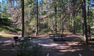
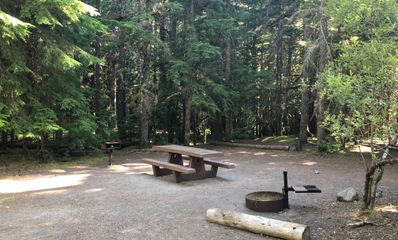
| A3 | 280 ft | 110 ft | a table and grill under tall firs, a vault toilet behind |
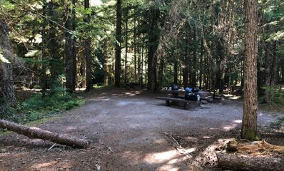
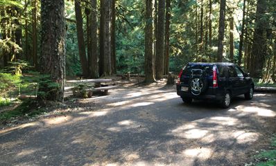
| A4 | 140 ft | 110 ft | a big gravel pad in the firs |
| A5 | 220 ft | 50 ft | no photo |
| A6 | 150 ft | 130 ft | no photo |
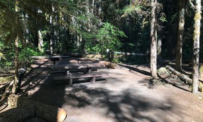
| A7 | 290 ft | 130 ft | a long pad with two tables, logs at the edge |
| A8 | 370 ft | 80 ft | no photo |
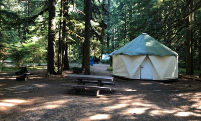
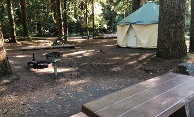
| A9 | 280 ft | 60 ft | a canvas yome beside the table |
| A10 | 330 ft | 80 ft | no photo |
| A11 | 260 ft | 50 ft | a canvas yome under a big fir, a fire ring and grill |
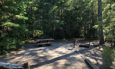
| B1 | 320 ft | 100 ft | a table and grill at the end of a short path |
| B2 | 360 ft | 100 ft | no photo |
| B3 | 210 ft | 80 ft | a framed pad, a table and grill |
| B4 | 200 ft | 80 ft | a clearing at the end of a path, logs at the edge |
| B5 | 220 ft | 110 ft | a table, fire ring and grill in the trees |
Distances are straight lines from each pin, to the water and to the nearest neighbor, so read them as “about”. Photos from August 2019.
Questions
- Is Lost Creek accessible?
- Yes. The Forest Service built it to be entirely barrier-free: the campsites, the fishing platform and the nature trail.
- Is there drinking water?
- Yes, potable water. Our note says the creek is drinkable but does not recommend it.
- Can I fish?
- In the Sandy River, Recreation.gov says: steelhead all year, coho in the fall, Chinook from February through October. Check Oregon’s fishing regulations.
- When is it open?
- In 2026, May 22 to September 30.
- What else is close?
- The trailhead for Ramona Falls is off the road in, and McNeil Campground is a mile and a half back toward Zigzag.
Nearby
- McNeil Campground 1.5 miles
- Ramona Falls trailhead under a mile
- Dispersed camping on the Sandy River 89 free spots around McNeil
Checked October 2026 with Forest Service: Lost Creek Campground, Recreation.gov: Lost Creek and OpenStreetMap (Lost Creek). Been there since? Tell us what has changed: support@tentspots.com.
Amenities

ACCESSIBLE
16 Camping Spots