Campground guides
Which site to take, campground by campground, from our own photos and pins and the land managers' pages. Where a campground has no guide yet, its page still has every site we mapped.
Some of these campgrounds burned in 2020. What reopened, and what did not.
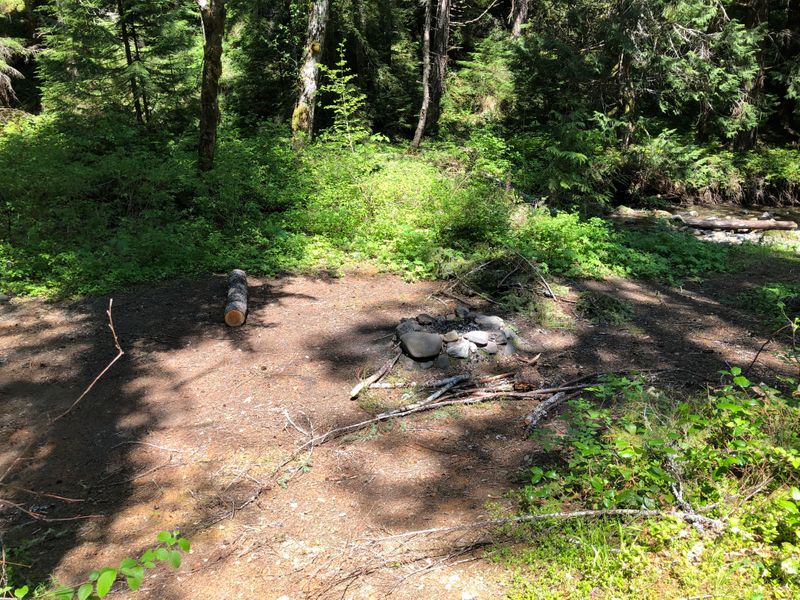
Want the site by the river? Tent sites by the water near Portland, site by site.
Mt Hood and the Clackamas
An hour and a half to two hours from Portland, give or take: the Sandy River below Mt Hood, the small lakes on its north side, and the Clackamas and the Oak Grove Fork, where the Riverside Fire burned in 2020 and the Austin Fire in 2026.
McNeil Campground
Lost Creek Campground
Dollar Lake
Black Lake Campground
Promontory Park Campground
Ripplebrook Campground
Fish Creek Campground
Armstrong Campground
Roaring River Campground
Sunstrip Campground
Lazy Bend Campground
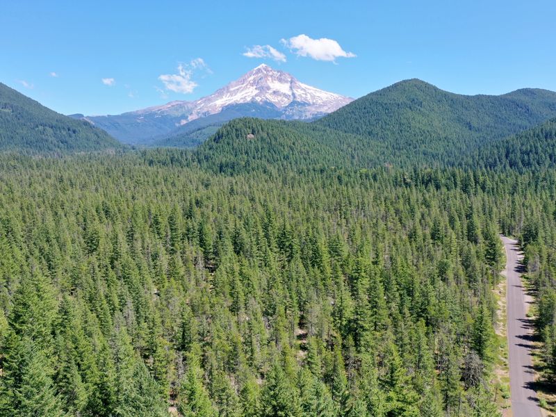
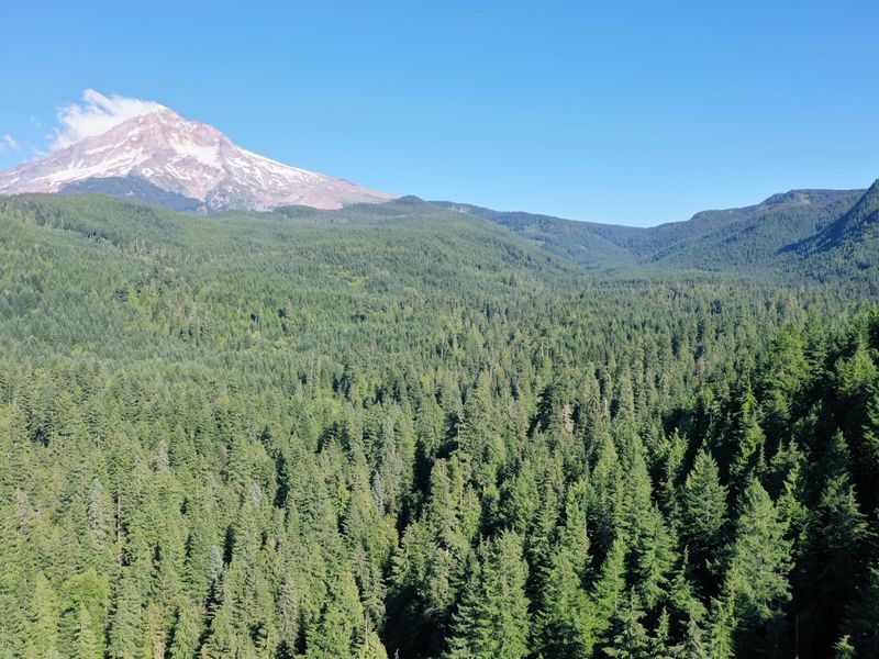
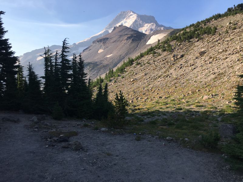
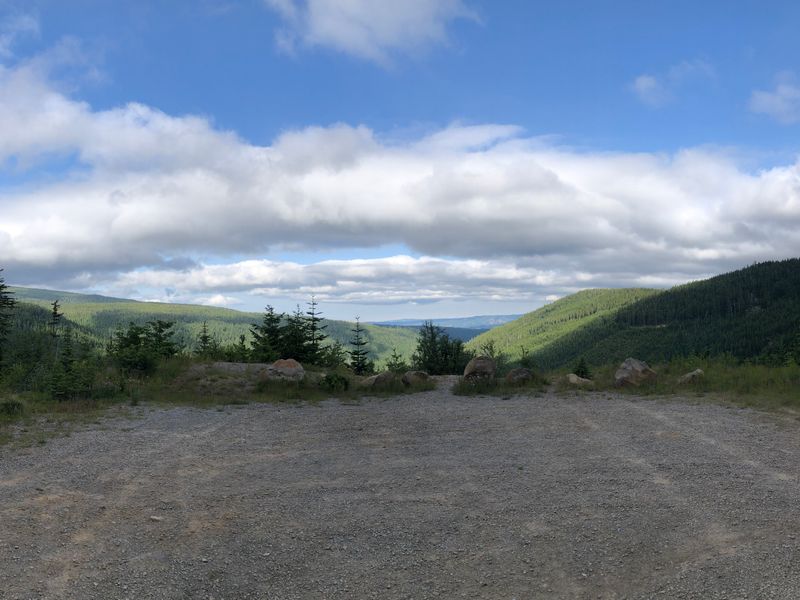
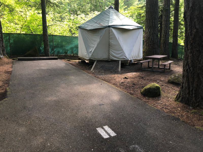
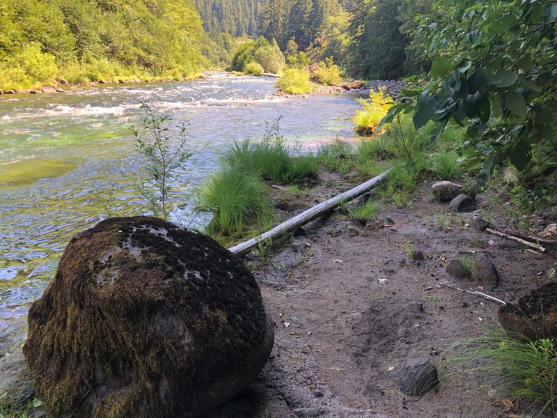
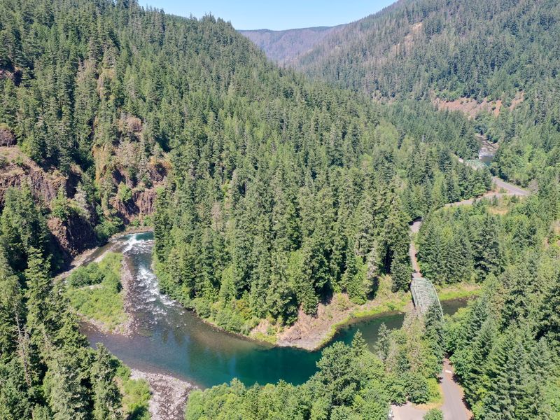
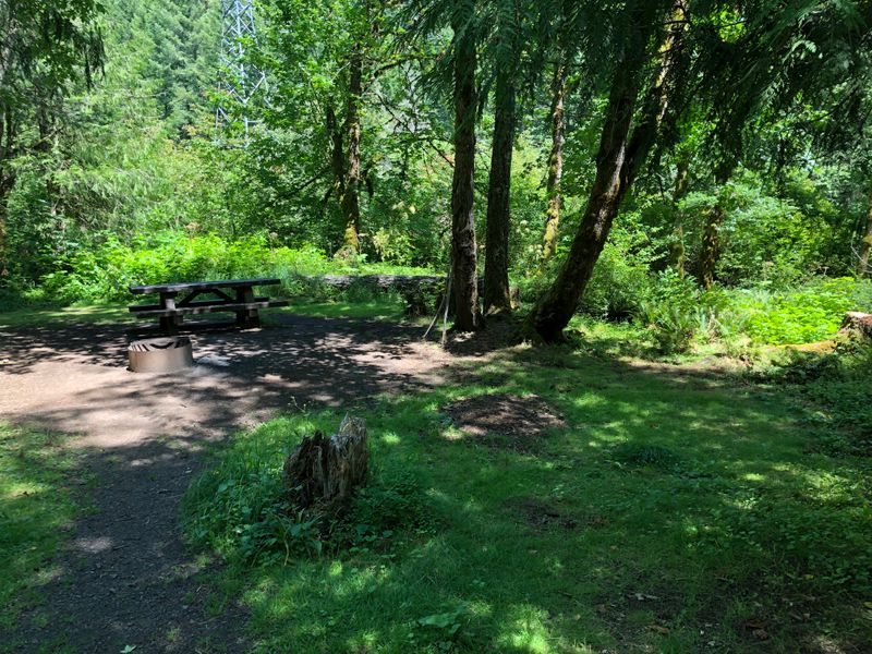
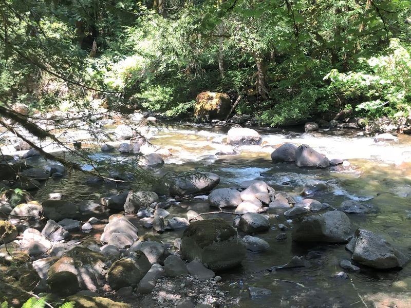
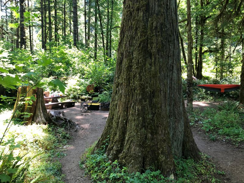
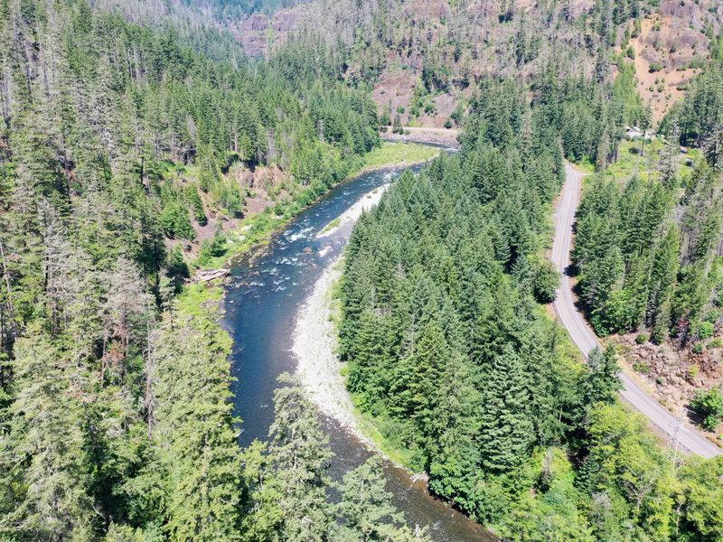
Outside the campgrounds: Dispersed camping on the Sandy River near McNeil
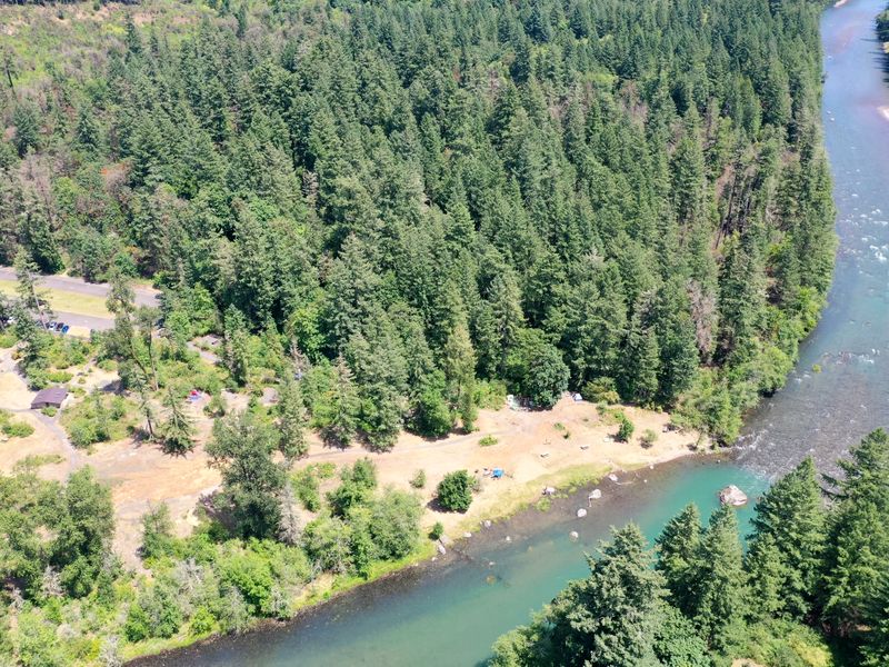
Outside the campgrounds: Dispersed camping on the Clackamas, before the fire
Also on the map: Ramona Falls trailhead, Rainy Lake Campground, Lake Harriet Campground (closed for 2026 after the Austin Fire), Clackamas Fork
Near Portland
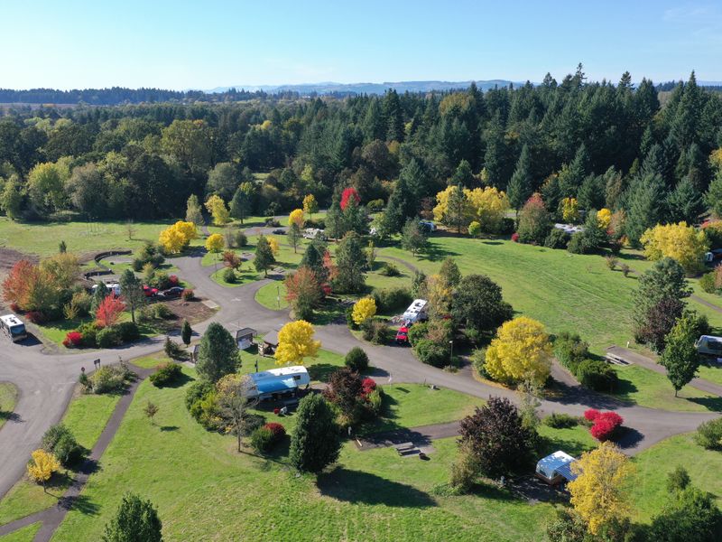
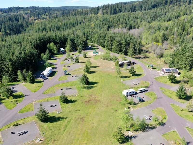
Two big state park campgrounds within an hour of the city, in the Willamette Valley and the Coast Range foothills.
The Santiam and the McKenzie
Up the North Santiam canyon, where the 2020 Beachie Creek Fire burned, and over to the lakes below the McKenzie Pass.
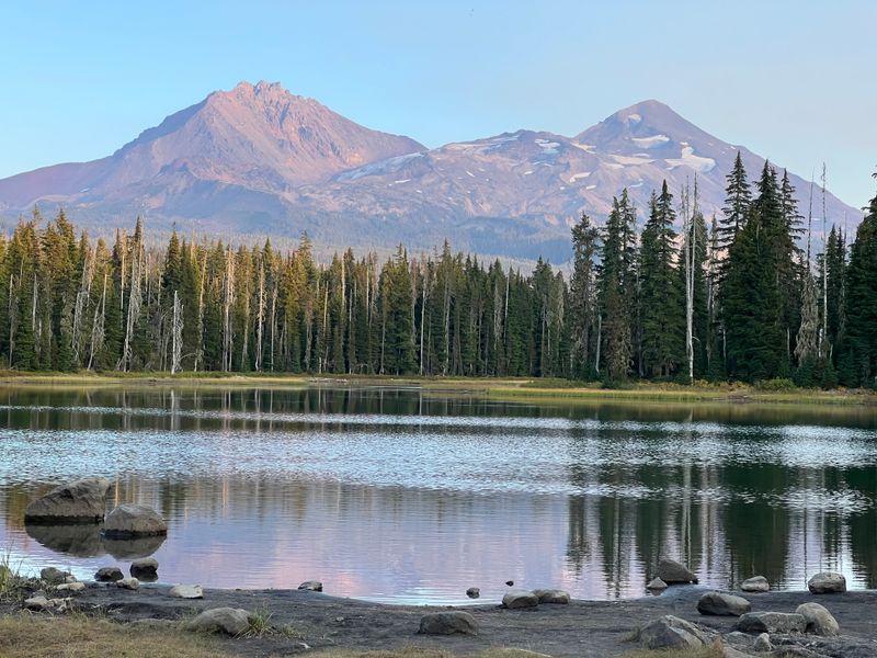
Also on the map: Parish Lake Campground
Central and southern Oregon
The lakes east of the Cascade crest: Suttle Lake below Santiam Pass, the Cascade Lakes Highway, and out to the Klamath Basin.
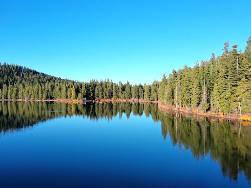
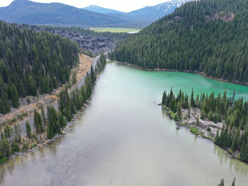
Also on the map: Jackson F. Kimball State Recreation Site
Southwest Washington
From the Yacolt Burn State Forest, an hour from Portland, up into the Gifford Pinchot below Mt Rainier, Mt Adams and the Goat Rocks.
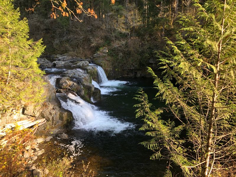
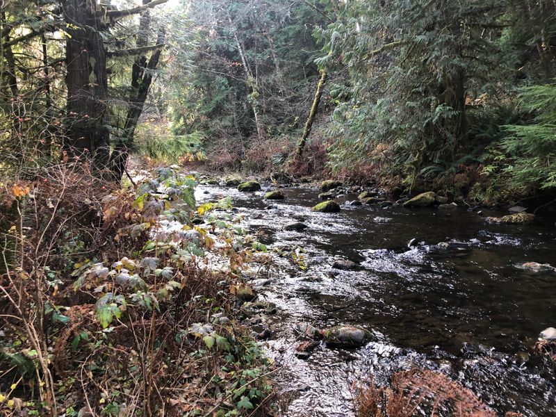
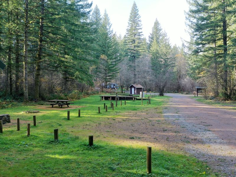
Outside the campgrounds: Dispersed camping on the Nisqually River below Mt Rainier
Also on the map: Streeter's Resort, Silver Lake, Morrison Creek, Council Lake, Chambers Lake Campground, Summit Creek, Soda Springs
The Olympic Peninsula
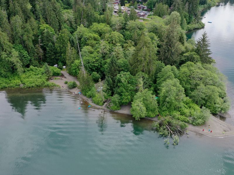
The foothills above Sequim and the rain forest at Lake Quinault.