Dispersed camping on the Sandy River near McNeil
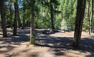
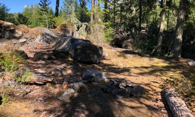
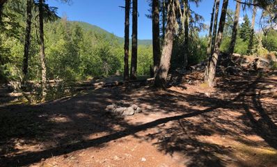
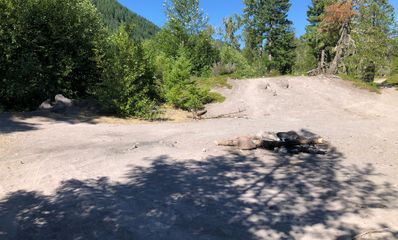
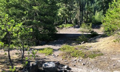
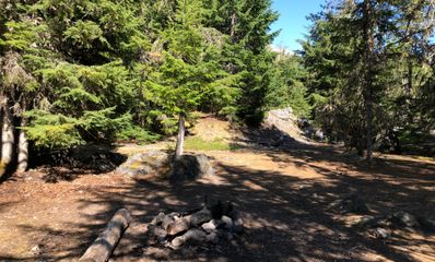
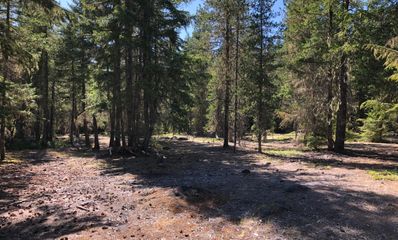
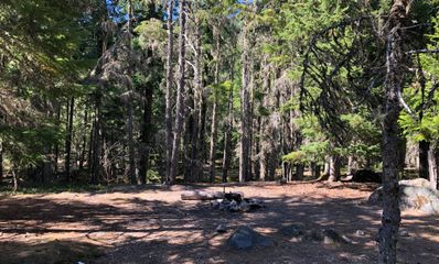
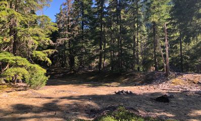
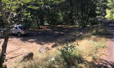
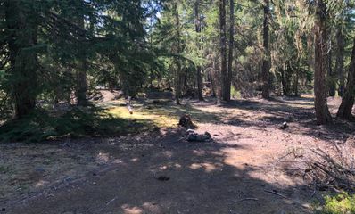
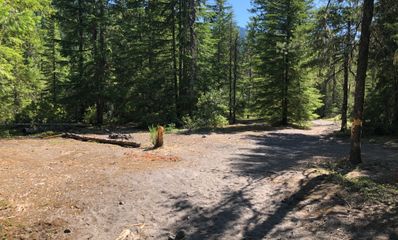
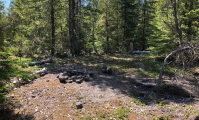
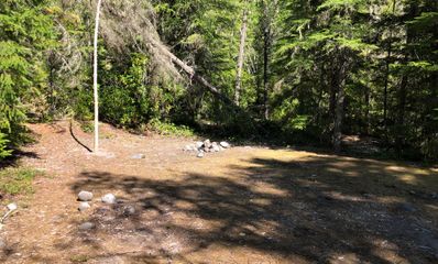
On August 1, 2019, the same day we photographed McNeil Campground site by site, we walked the river around it and pinned the places people pitch a tent outside the campground: sandy flats on the bank, clearings under the firs, most with a ring of river rocks for a fire. These are the 89 we photographed, most of them in 360°.
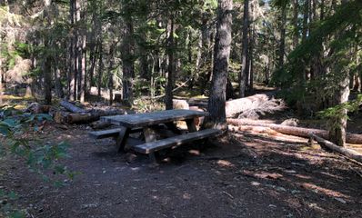
They cost nothing, and there is nothing there: no toilet, no water, no table, no fire ring but the rocks someone left. Fifty-nine of them are within 500 feet of the river; the rest are up the forest roads, in the trees.
- “There was some broken glass around the fire ring, but otherwise this is one of the best spots close to Portland.”
- “Small spot on raised river bank. It was quite noisy in late April as the river was quite strong at the time. Otherwise this is a nice small spot when all else is taken.”
- “Open sandy spot with plenty of space around.”
- “One of the popular spots at Sandy.”
Off Forest Road 1825-043 33
A spur road down toward the river. The most spots, from open sand a hundred feet from the water to clearings in the trees.
110 ft to the river360°
120 ft to the river360°
120 ft to the river360°
140 ft to the river360°
140 ft to the river360°
160 ft to the river360°
160 ft to the river360°
170 ft to the river360°
230 ft to the river360°
230 ft to the river360°
260 ft to the river360°
270 ft to the river360°
290 ft to the river360°
300 ft to the river360°
330 ft to the river360°
340 ft to the river360°
340 ft to the river360°
350 ft to the river360°
380 ft to the river360°
390 ft to the river360°
410 ft to the river360°
420 ft to the river360°
420 ft to the river360°
430 ft to the river360°
450 ft to the river360°
470 ft to the river360°
520 ft to the river360°
530 ft to the river360°
630 ft to the river360°
730 ft to the river360°
830 ft to the river360°
870 ft to the river360°
1,050 ft to the river360°
Along Muddy Fork Road (FR 1825) 27
The road past McNeil toward the Ramona Falls trailhead. Several spots sit right on the bank.
20 ft to the river360°
50 ft to the river360°
60 ft to the river360°
60 ft to the river360°
70 ft to the river360°
80 ft to the river
80 ft to the river360°
80 ft to the river360°
80 ft to the river360°
90 ft to the river360°
100 ft to the river360°
100 ft to the river360°
100 ft to the river360°
110 ft to the river360°
110 ft to the river
130 ft to the river360°
160 ft to the river
250 ft to the river
280 ft to the river
330 ft to the river360°
930 ft to the river
960 ft to the river360°
990 ft to the river
1,120 ft to the river360°
1,150 ft to the river360°
1,220 ft to the river360°
1,360 ft to the river360°
Along East Lolo Pass Road (FR 18) 14
The main road up from Zigzag. Mostly clearings in the trees, a few on the sand.
110 ft to the river360°
240 ft to the river360°
260 ft to the river360°
300 ft to the river360°
750 ft to the river360°
1,090 ft to the river360°
1,150 ft to the river360°
1,180 ft to the river360°
1,220 ft to the river360°
1,230 ft to the river360°
1,240 ft to the river360°
1,280 ft to the river360°
1,320 ft to the river360°
1,400 ft to the river360°
Around the Ramona Falls trailhead 9
Sandy flats by the trailhead at the end of FR 1825, where the river is, as our note says, quite raw and mountainous. The Forest Service does not say whether you may camp at the trailhead itself, and dispersed camping is not allowed inside developed recreation sites, so camp away from the parking area. The road in is rough; the Forest Service recommends high clearance.
Up the other forest roads 6
Further from the river, in the trees.
The rules
- There is no fee, the Forest Service says, because there is nothing provided: no toilets, no drinking water, no metal fire rings, no trash service.
- Stay in one place up to 14 days in a row, and no more than 28 days a year on the forest.
- Camp at least 100 feet from streams, rivers and lakes. Several of the spots people use sit closer to the river than that, so pitch your tent back from the water.
- Use a site that is already there rather than making a new one. Pack out everything you bring.
- Check for fire restrictions before you go. Burn only wood that is already down, and never leave a fire.
- Bury human waste 6 inches deep, at least 100 feet from water, and take your toilet paper with you.
- Some places are closed to dispersed camping, such as near developed sites and along certain roads; the ranger district can tell you where.
- Parking at the Ramona Falls trailhead needs a recreation pass from May 1 to October 31 ($5 a day). Beyond it is the Mt Hood Wilderness, where free self-issued permits are required in the same months, and there is no footbridge over the Sandy.
If you would rather have a campground
- McNeil Campground (the guide, site by site)
- Lost Creek Campground
- Ramona Falls trailhead
89 spots, photographed in August 2019. Distances are straight lines from each pin to the river. Checked October 2026 with Forest Service: Mt Hood dispersed camping, Forest Service: Ramona Falls Trailhead and OpenStreetMap (the Sandy River). Been there since? Tell us what has changed: support@tentspots.com.