Notes from the field
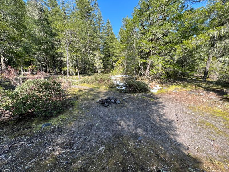
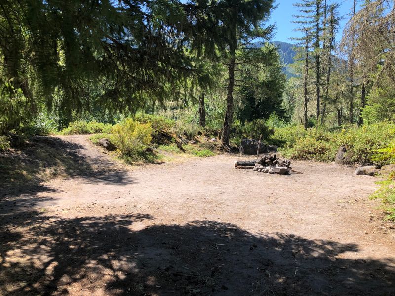
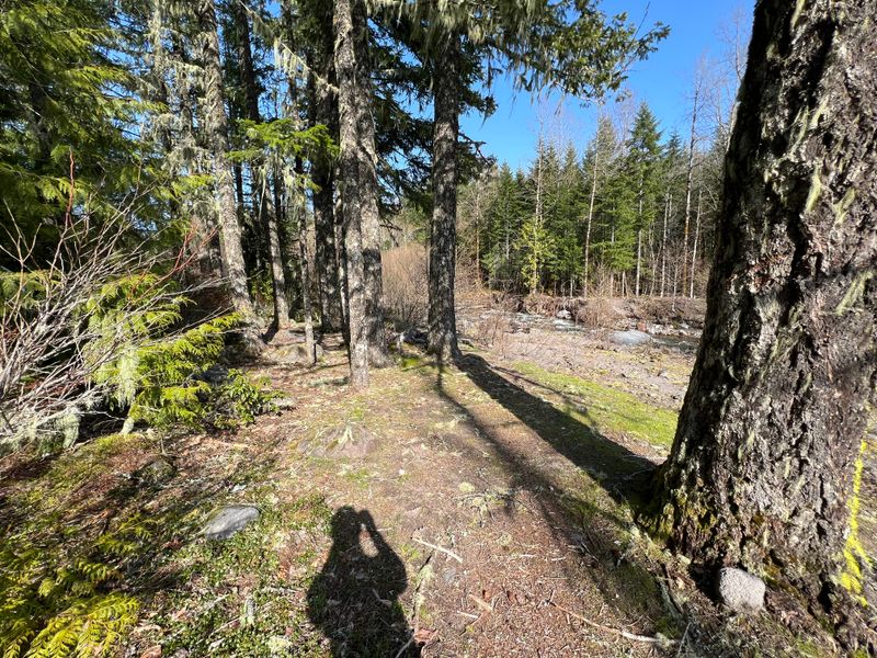
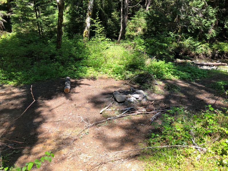
Between 2019 and 2023 we left a line or two beside the places we photographed: what the ground was like, what we would do differently, what made us stay. Here are 70 of them, each beside its photo, as we wrote them, with only the spelling fixed, in the order we wrote them, sometimes weeks after the trip.
Where we know a place has changed since, it says so under the note. Some of them were written about places the 2020 fires burned a year later. What happened to those.
2019
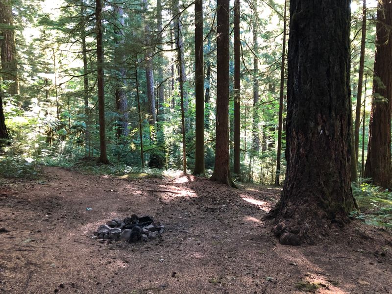
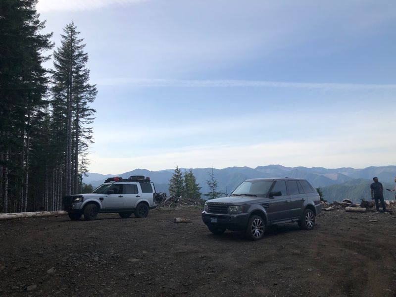
“Fine to spend a night.”
Photographed a year before the 2020 Riverside Fire burned across this ranger district.
By Bull Creek, on the Clackamas, OR · photographed July 2019
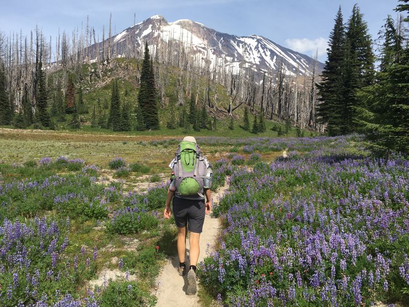
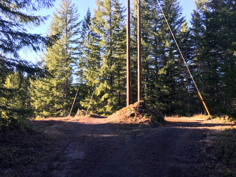
“From this area, you can see both a field of lupines and Mt Adams. There are trees and a creek nearby if you want to hide your tent or hammock. There are some biting flies but they are everywhere on the mountain.”
The south side of Mt Adams, WA
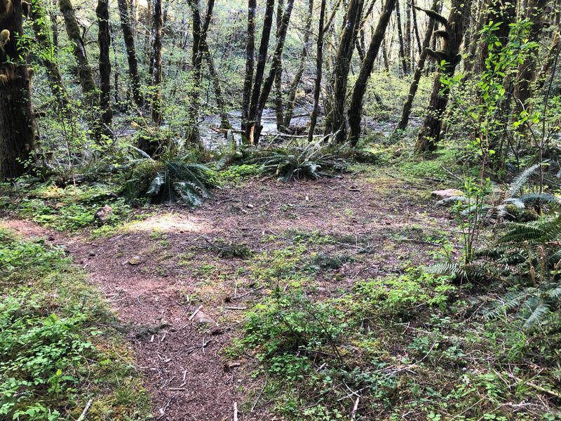
“Hidden in the woods. Perfect when Harriet lake does not work out.”
Photographed a year before the 2020 Riverside Fire burned across this ranger district.
Near Lake Harriet, OR · photographed July 2019
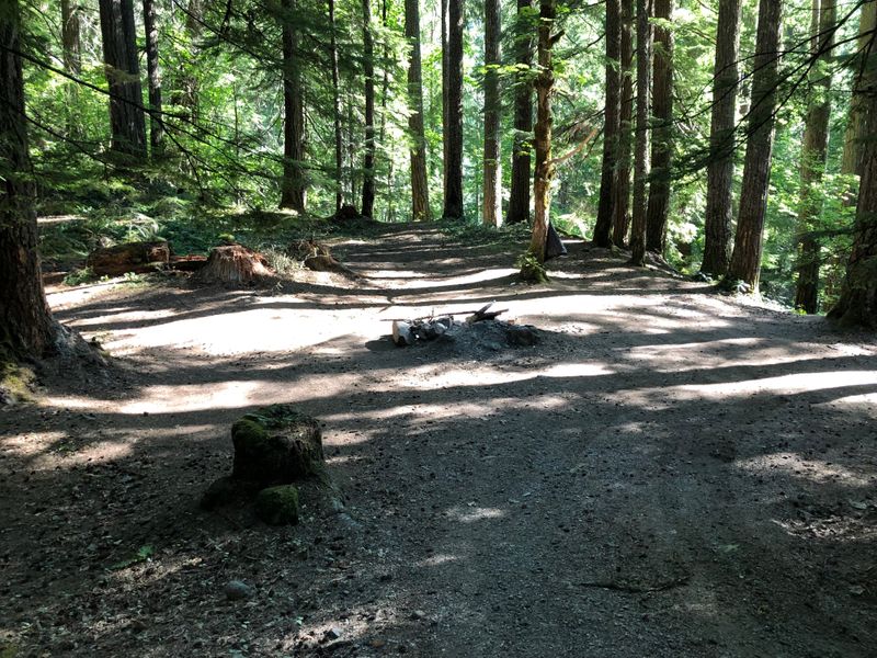
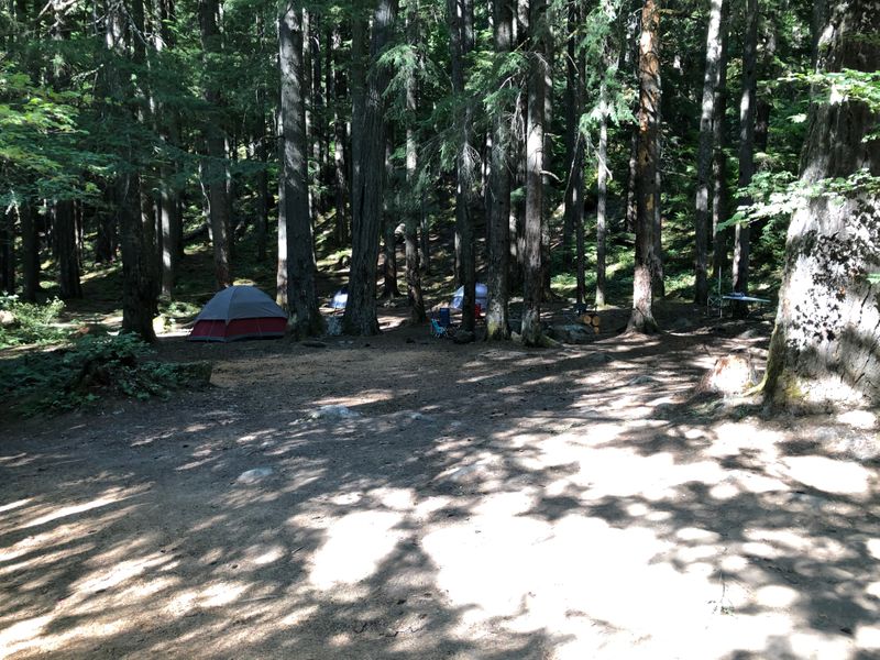
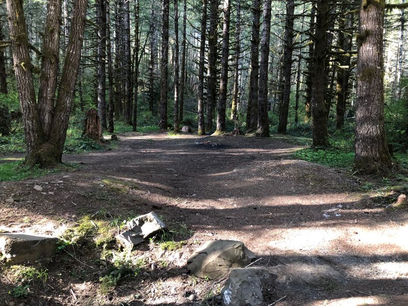
“Big place for a few tents.”
Photographed a year before the 2020 Riverside Fire burned across this ranger district.
Near Lake Harriet, OR · photographed July 2019
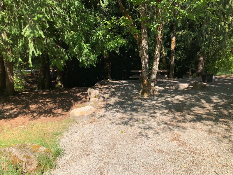
“Beautiful little campground. Driving the gravel road here is the worst part.”
Closed for 2026 after the Austin Fire.
Site 6, Lake Harriet Campground, OR · photographed July 2019
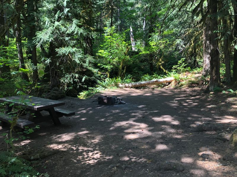
“No river access :(”
Reopened after the 2020 fire; closed again by the 2026 Austin Fire.
Site 7, Ripplebrook Campground, OR · photographed July 2019
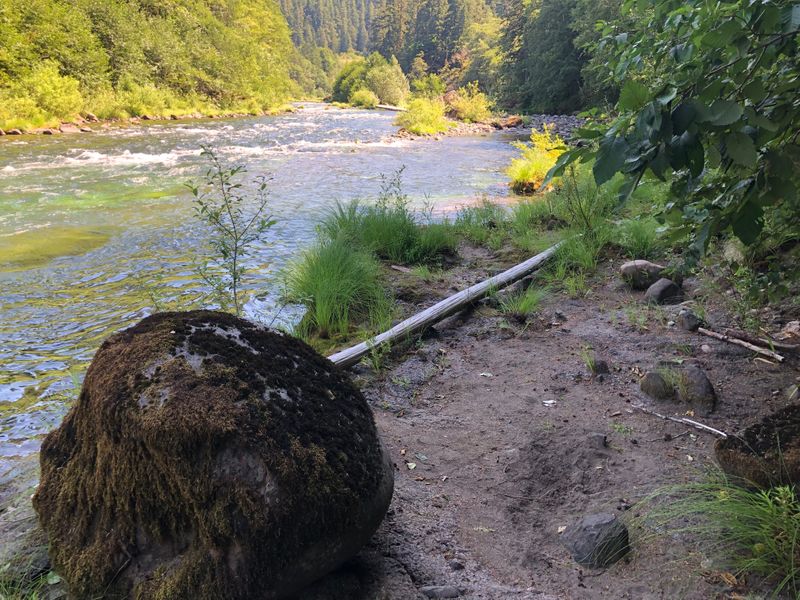
“Cute one person fishing spot. Be extremely careful about the water level and rain forecast.”
Photographed a year before the 2020 Riverside Fire burned across this ranger district.
On the Clackamas below Ripplebrook, OR · photographed July 2019
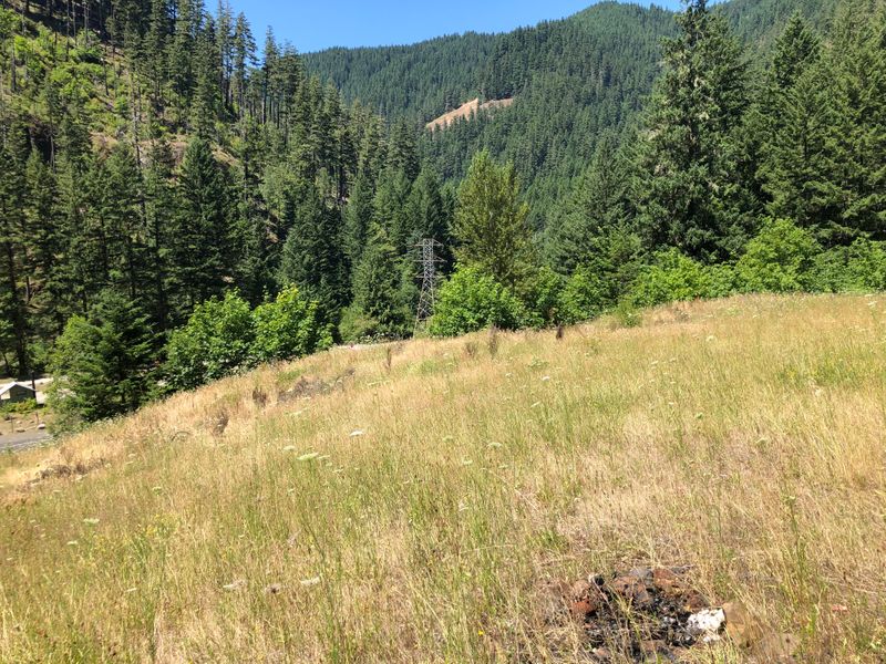
“Fine spot on the high grounds. It is not much but the grass made for pleasant sleep.”
Photographed a year before the 2020 Riverside Fire burned across this ranger district.
Above the Clackamas near Roaring River, OR · photographed July 2019
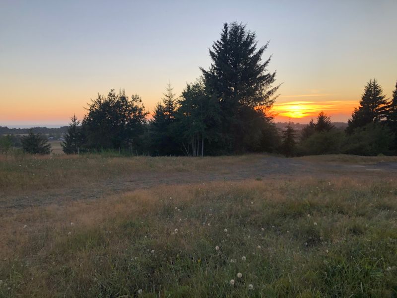
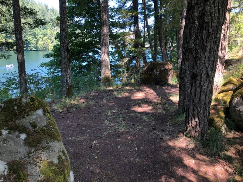
“Great view, but not much else. Watching the sunrise over the gorge was wonderful. The site can handle multiple groups. Though you need to leave the car at the gate and walk a quarter-mile to the site.”
Above the Clackamas River near Estacada, OR · photographed July 2019
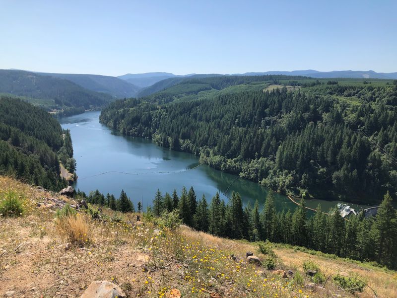
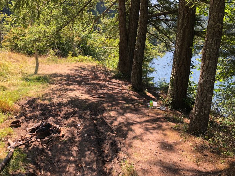
“This site needs some love #trashtag”
On North Fork Reservoir, near Estacada, OR · photographed July 2019
“Had a nice swim at the dam.”
On North Fork Reservoir, near Estacada, OR · photographed July 2019
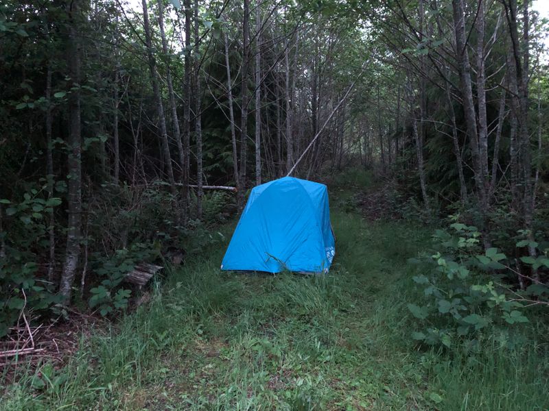
“Nothing fancy. At least it was quiet night.”
Pacific County, WA · photographed May 2019
“Nice view over Tillamook forest.”
Tillamook State Forest, OR · photographed April 2019
“Not every car will get there. Worst case you can walk the quarter mile.”
By Elliott Creek, Tillamook State Forest, OR · photographed January 2019
“A short walk from the road.”
By the Devils Lake Fork of the Wilson River, Tillamook State Forest, OR
“Nice spot to spend a night on travels.”
By the Devils Lake Fork of the Wilson River, Tillamook State Forest, OR
“Roadside not much camping. The road is abandoned.”
Clallam County, WA
“End of forest road up on the hill.”
State land in Mason County, WA
“Cool spot for a night. A lot of mosquitos.”
State land in Mason County, WA · photographed May 2019
“Quiet and secluded from the main spots.”
Slab Camp, WA · photographed May 2019
“Abandoned spot.”
Slab Camp, WA · photographed May 2019
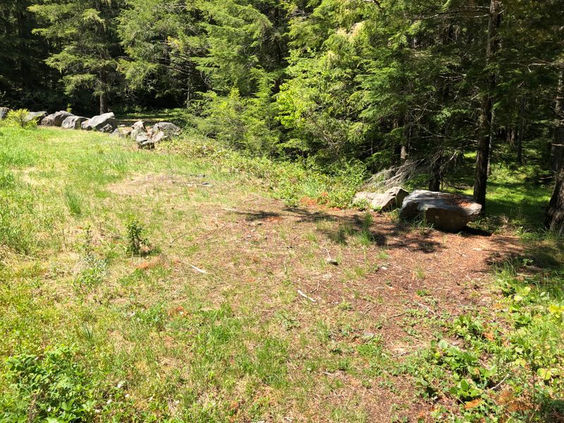
“The boulders are nice.”
Slab Camp, WA · photographed May 2019
“Can get too cramped if you get people on the other side of boulders.”
Slab Camp, WA · photographed May 2019
“Flat spot in the woods.”
Rainy Lake Campground, OR · photographed July 2019
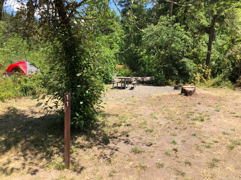
“Pity they had to cut the tree down :( Now it’s a sunny spot.”
Reopened after the 2020 fire.
Site 11, North Santiam State Recreation Area, OR · photographed July 2019
“Lake is quite a steep walk down the hill.”
Above Cougar Reservoir, Willamette National Forest, OR
“Steep decline to the spot. Though the road is dirt only.”
Above Cougar Reservoir, Willamette National Forest, OR
“Hot springs in walking distance.”
Near Bigelow Hot Spring, on the McKenzie River, OR
“Hot spring across the road.”
Near Bigelow Hot Spring, on the McKenzie River, OR
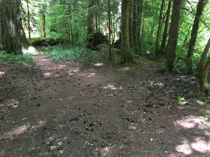
“Close to the road :(”
Site 5, Sunset Falls Campground, WA · photographed November 2019
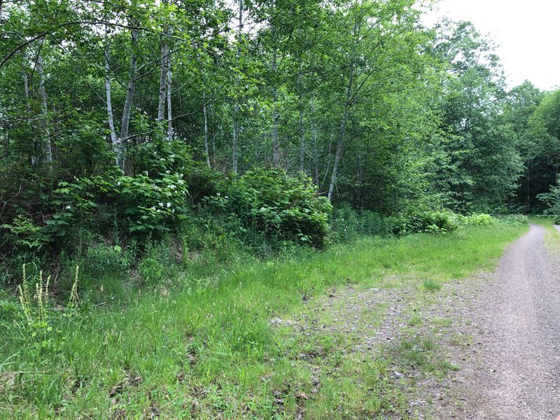
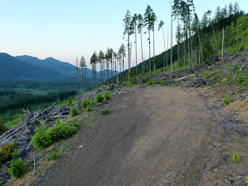
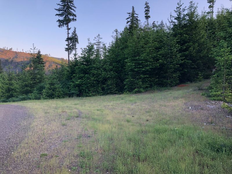
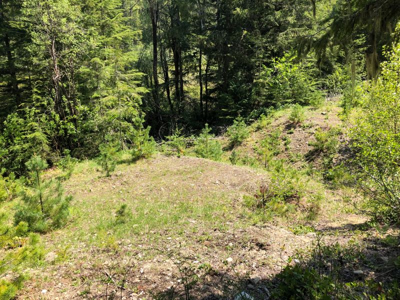
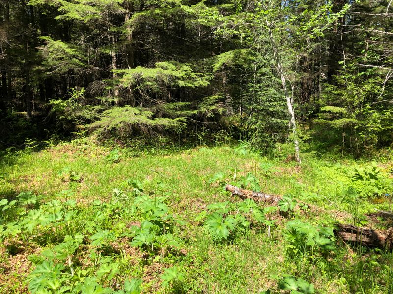
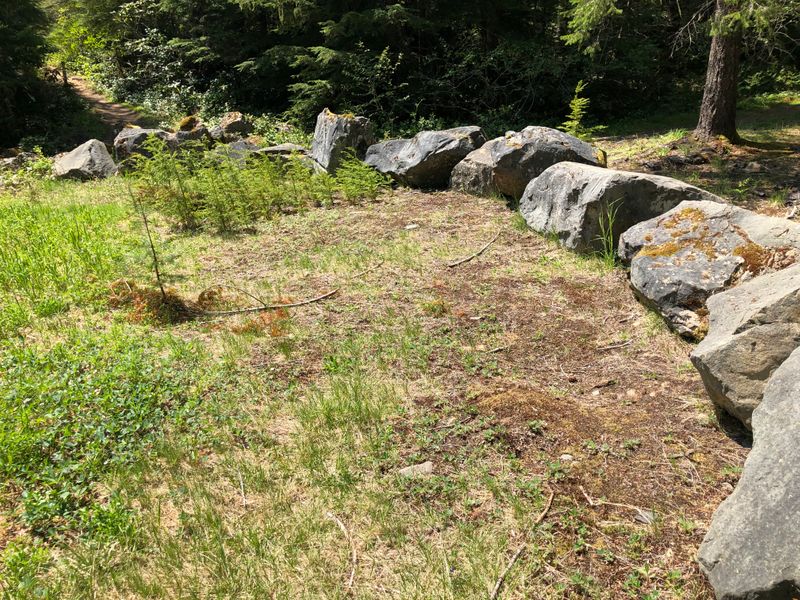
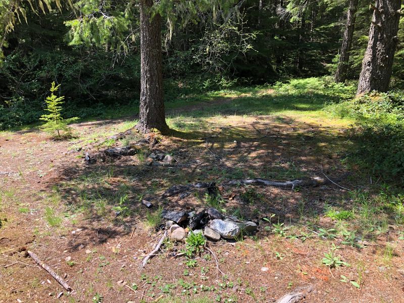
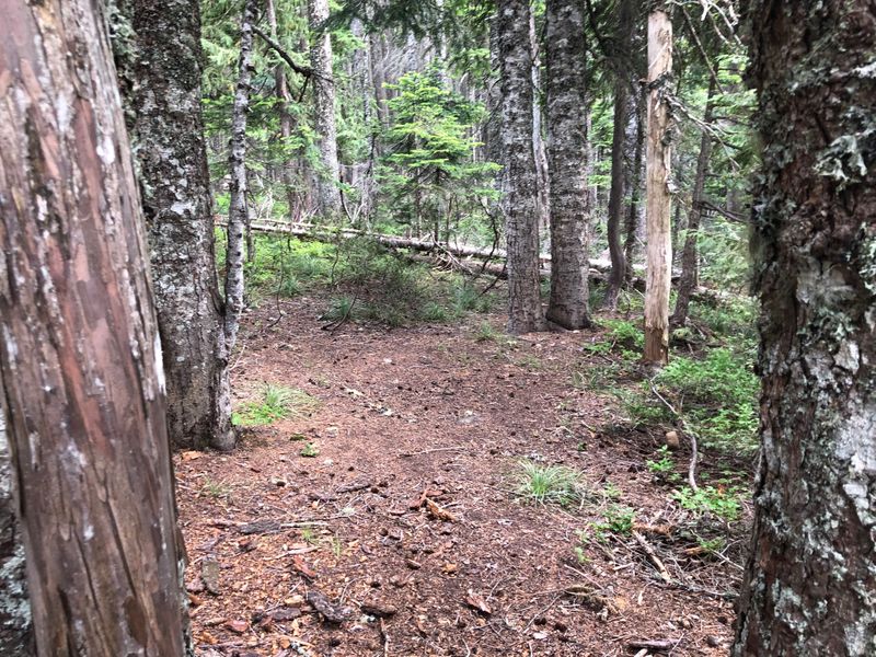
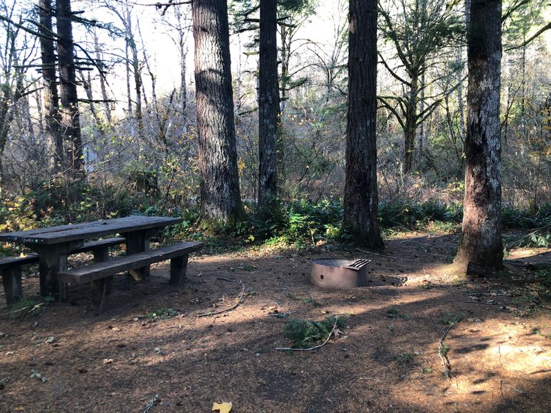
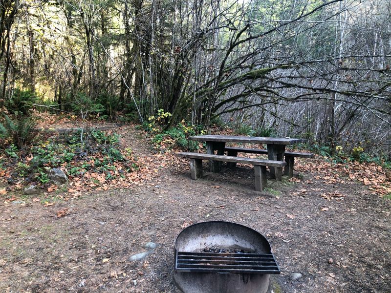
“Well hidden with a cute little side creek.”
Site 14, Sunset Falls Campground, WA · photographed November 2019
2020
“Remote camping spot in Tillamook Forest.”
Tillamook State Forest, OR
“Open sandy spot with plenty of space around.”
On the Sandy River near McNeil, OR · photographed August 2019
“Right on Scenic McKenzie Hwy. As of 2020 there were boulders on an access road, but the walk is very short.”
On the McKenzie Pass highway, OR · photographed June 2020
“Pleasant overnight spot.”
On the McKenzie Pass highway, OR · photographed June 2020
“Quite dark spot under huge trees. Might be more pleasant during peak summer.”
On the McKenzie Pass highway, OR · photographed June 2020
“Spot is lightly hidden from the road. Not my first choice due to the noise coming from the road but ok for overnight travel.”
On the McKenzie Pass highway, OR · photographed June 2020
“A little too close to the road, but the Hwy does not get much traffic during night.”
Near Craig Lake, on the McKenzie Pass highway, OR · photographed June 2020
“Secondary spot. Not much of a separation between the first one. A little too close to the road, but the Hwy does not get much traffic during night.”
Near Craig Lake, on the McKenzie Pass highway, OR · photographed June 2020
“A few dispersed unmarked spots. Possibly day use, but the ranger did not care at the time. The Lake is very mineral heavy and late in Summer there's a lot of Algae growth.”
Little Lava Lake, Deschutes National Forest, OR · photographed June 2020
“Spot is spacious and well hidden under huge trees. The creek is close but not too close to bother you during night. Though the access to the creek is a ninja walk over fallen trees. Follow the path for the best access.”
Lost Creek, on the McKenzie Pass highway, OR · photographed June 2020
“This spot is more open than the two closer to the creek, but does not offer that much privacy. I liked the evening sun.”
Lost Creek, on the McKenzie Pass highway, OR · photographed June 2020
“As of 6/2020 the access road is blocked and I had to walk quarter mile from the road.”
By Berry Creek, below Mt Rainier, WA
“A little dark but has a nice little creek.”
By Berry Creek, below Mt Rainier, WA
“Very nice place on the river.”
By Berry Creek, below Mt Rainier, WA
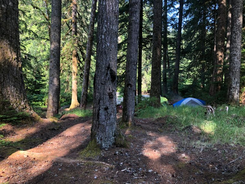
“Can get noisy from the river but has a great view. Also road is a little too close. But the view is great.”
On the Nisqually below Mt Rainier, WA
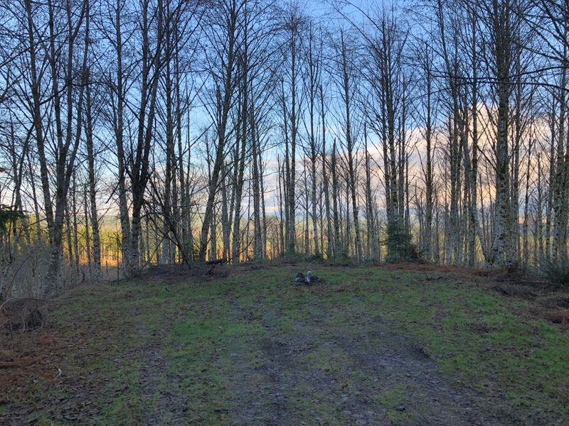
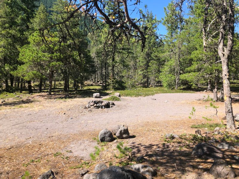
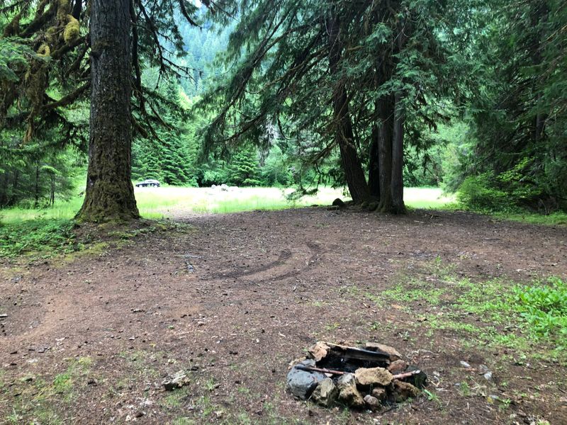
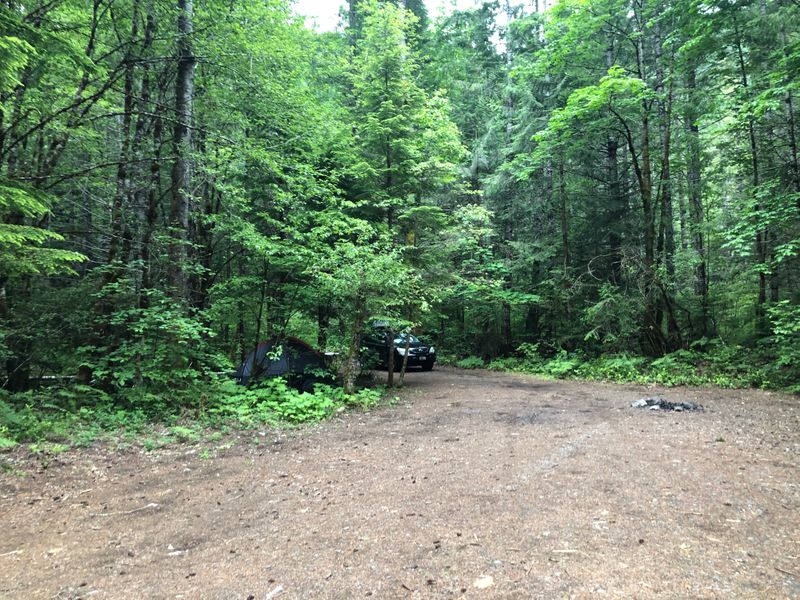
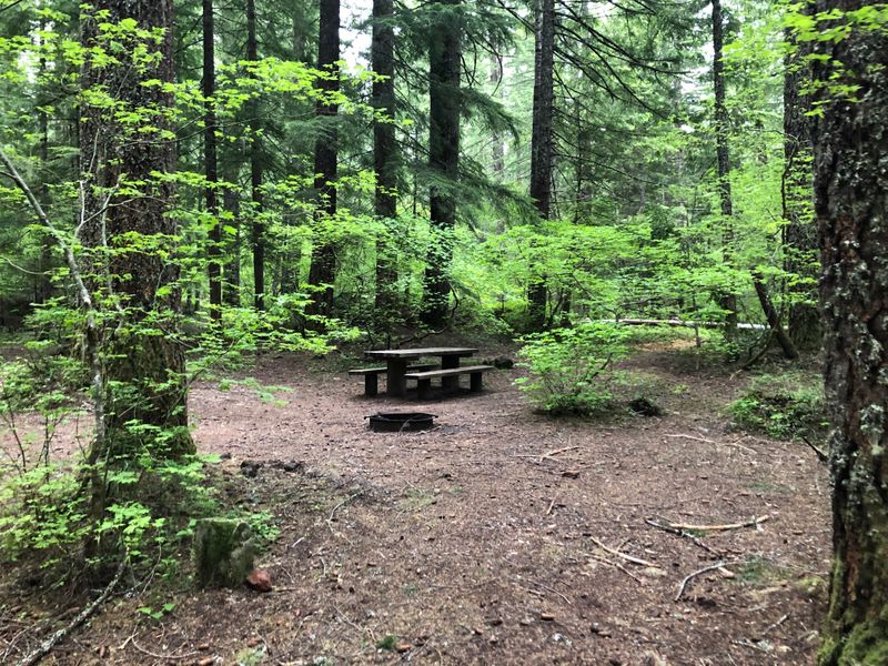
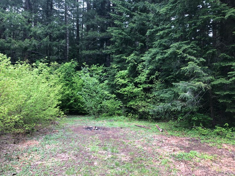
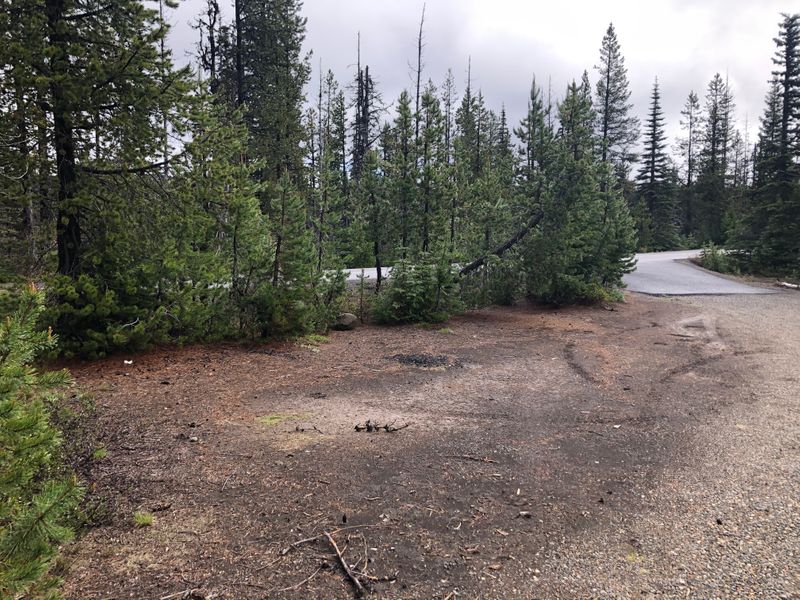
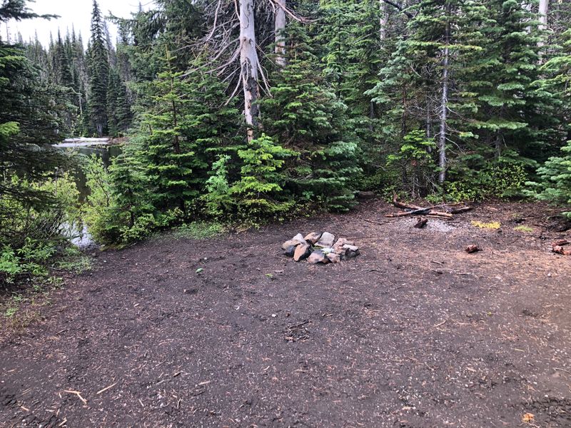
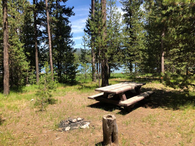
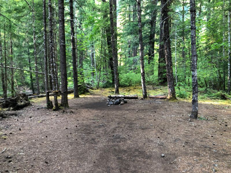
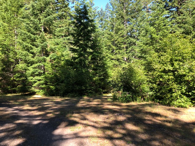
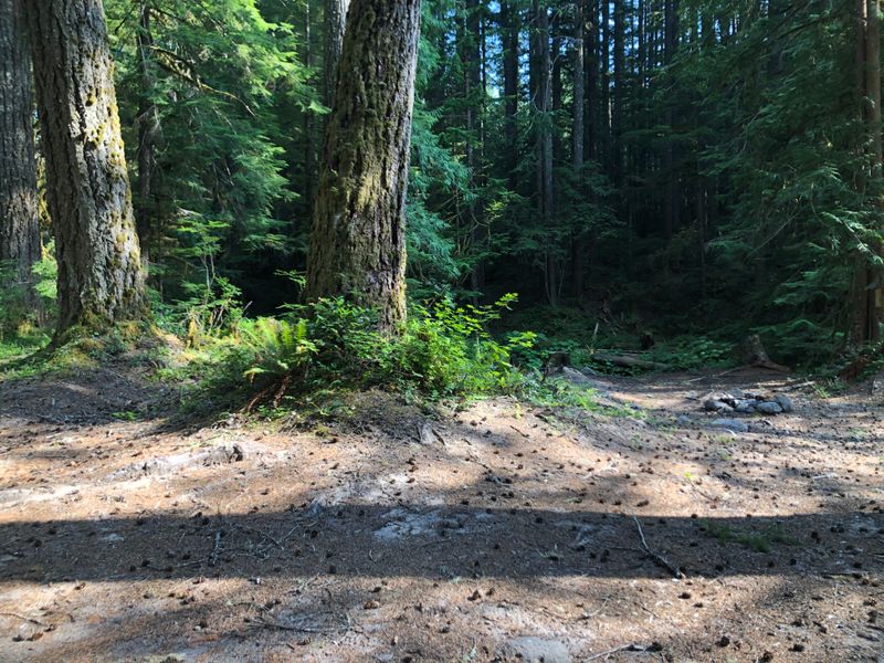
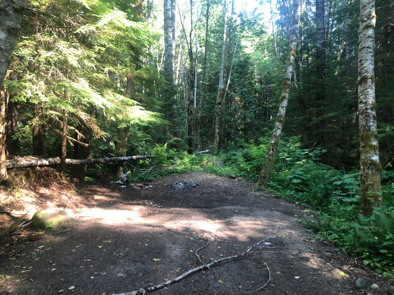
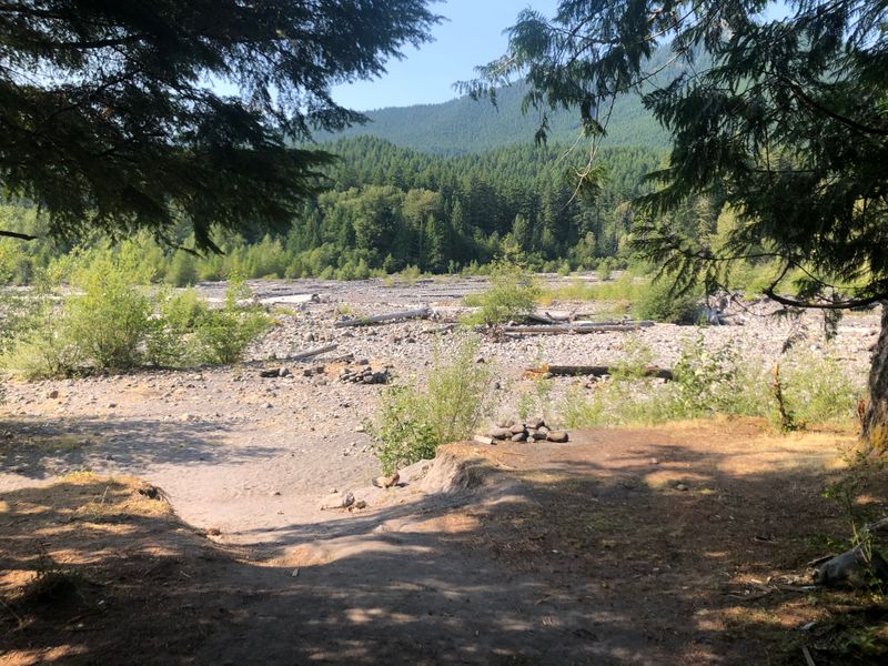
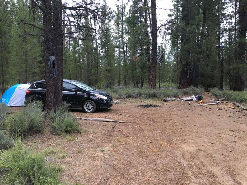
“No longer car accessible as of summer 2020.”
By the Fall River, Deschutes County, OR
2021
“Access from the road is possible from few turnoffs, pick the right one for your car.”
By Salmon Creek, Willamette National Forest, OR
“Plenty of shade and river is a 5 minute walk away.”
Gifford Pinchot National Forest, WA · photographed May 2021
“We visited nearby ice caves and this spot was close and empty in late May. The west road access was still snowed in.”
By Lost Creek, Gifford Pinchot National Forest, WA · photographed May 2021
“Pleasant spots by the river.”
By Lost Creek, Gifford Pinchot National Forest, WA · photographed May 2021
“Can be nice in summer as there's a lot of shade.”
By Lost Creek, Gifford Pinchot National Forest, WA · photographed May 2021
“Hard to get to with road car, but it's possible. You'll get a solitary with river access on a half shade opening.”
By Lost Creek, Gifford Pinchot National Forest, WA · photographed May 2021
“River is a short walk away, but you might get people going by to the river spot.”
By Lost Creek, Gifford Pinchot National Forest, WA · photographed May 2021
“The site is close, but can work as last resort spot when the night comes. Water is 5 minutes away down the path to the lake.”
In August 2026 the Austin and Narrows fire closures took in Timothy Lake.
Timothy Lake, Mt Hood National Forest, OR · photographed May 2021
“Closed spot on the waterfront. A little too much shade for my liking.”
In August 2026 the Austin and Narrows fire closures took in Timothy Lake.
Timothy Lake, Mt Hood National Forest, OR · photographed May 2021
“Nice view, private, but not much of a flat ground.”
In August 2026 the Austin and Narrows fire closures took in Timothy Lake.
Timothy Lake, Mt Hood National Forest, OR · photographed May 2021
“Perfect spot on the lake. Shallow access to the water and plenty of space. Come in early as it gets taken quickly.”
In August 2026 the Austin and Narrows fire closures took in Timothy Lake.
Timothy Lake, Mt Hood National Forest, OR · photographed May 2021
“Not many spots on the coast and Hug point stands out. Hidden in the forest with a little creek with waterfall. There’s not much space to put the tent up.”
Near Hug Point, on the Oregon coast
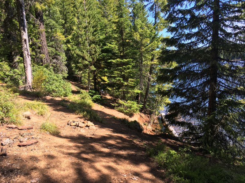
“The only downside is the close road and that you have to share the river shore with the two sites below. Otherwise this is very nice open spot.”
On the Wind River, Gifford Pinchot National Forest, WA · photographed August 2021
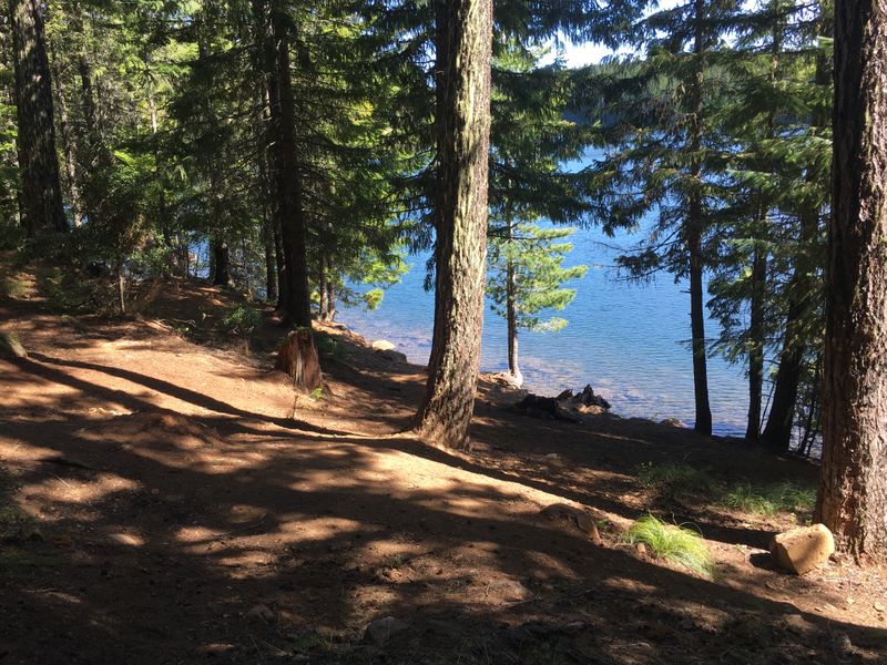
“Pleasant open spot in the woods. Easy access to the river for drinking water.”
On the Wind River, Gifford Pinchot National Forest, WA · photographed August 2021
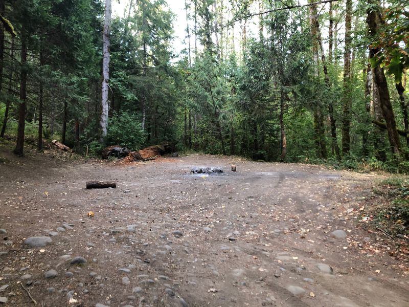
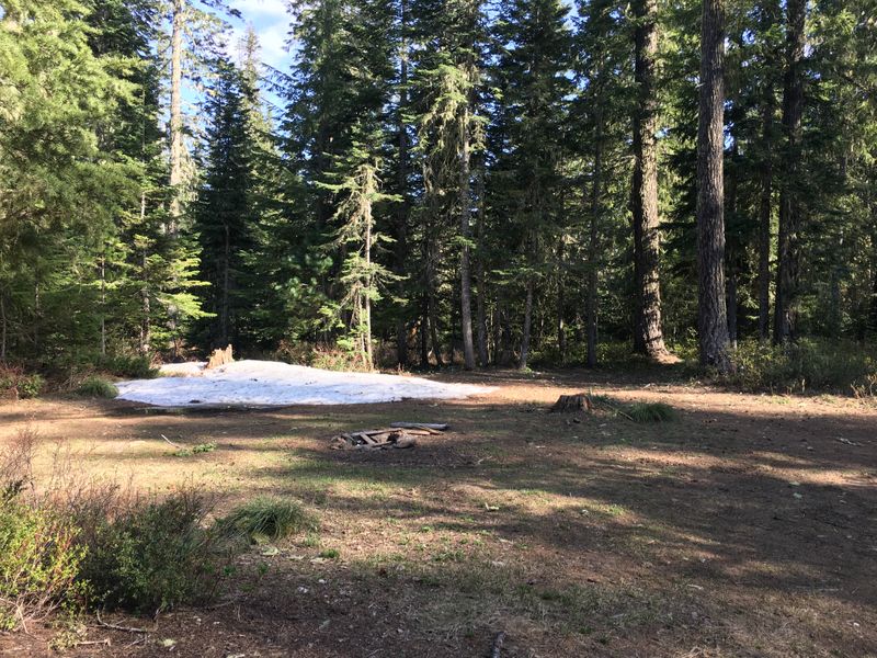
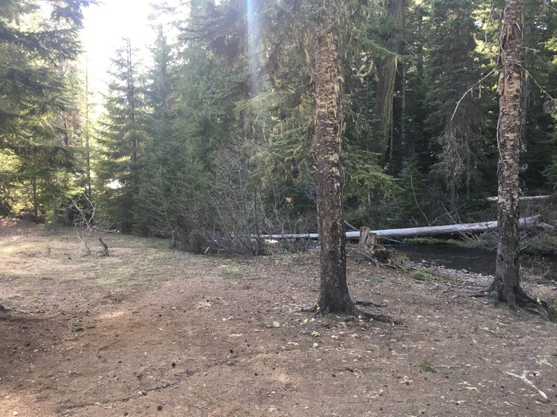
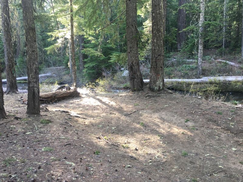
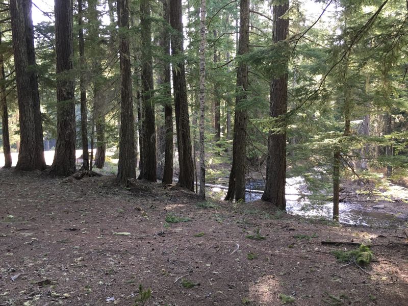
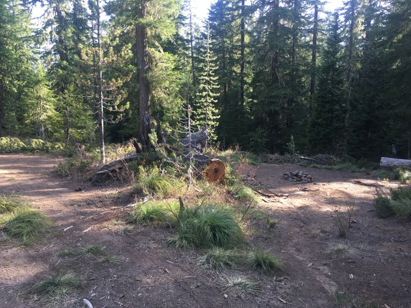
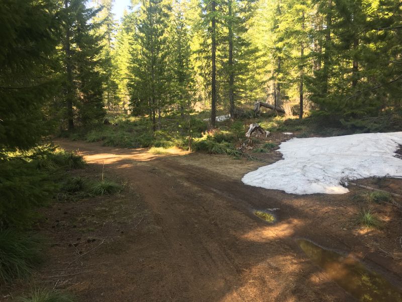
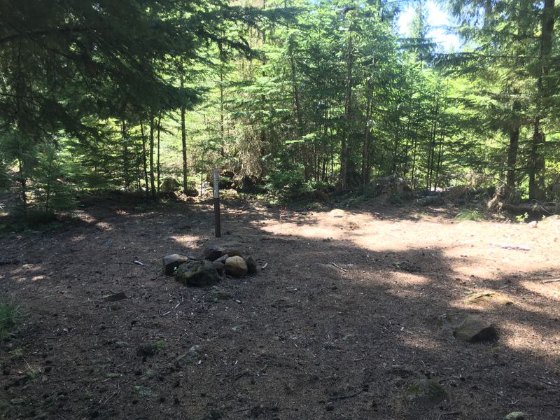
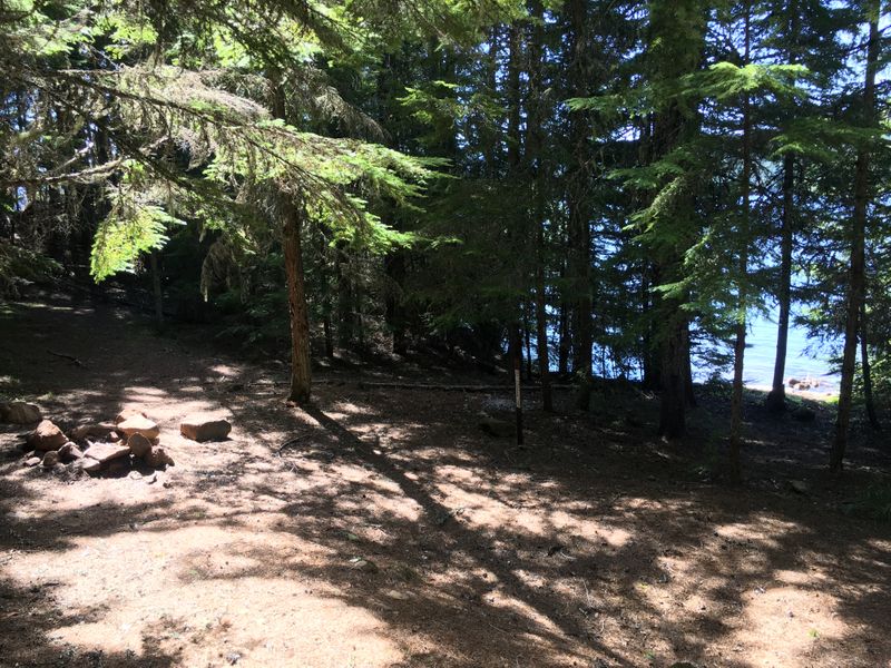
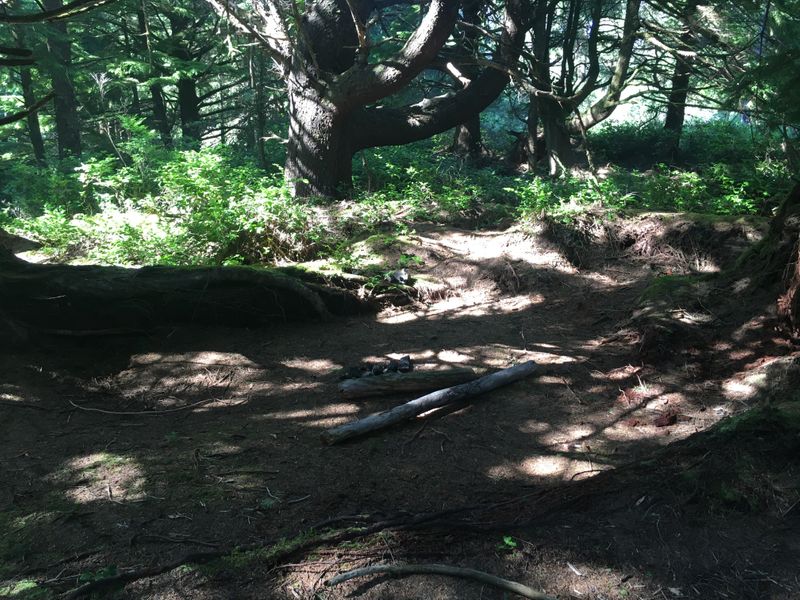
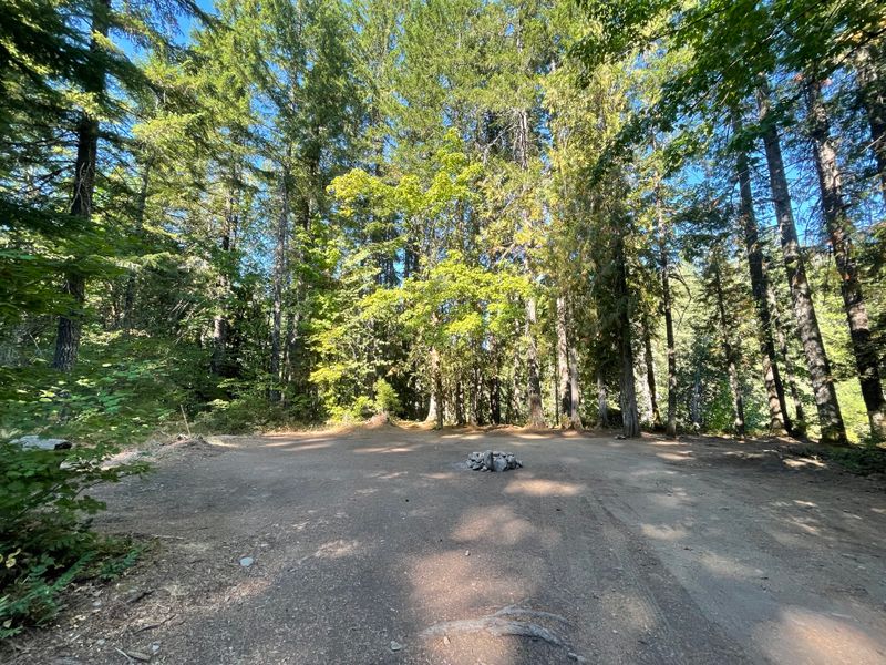
“Roadside spot on the way to a Falls Creek falls trailhead. Decent spot overall for a late night stay. There are cars passing by the dirt road during the day.”
On the road to Falls Creek Falls, Gifford Pinchot National Forest, WA · photographed August 2021
2022
“One of the popular spots at Sandy.”
On the Sandy River near McNeil, OR
“There was some broken glass around the fire ring, but otherwise this is one of the best spots close to Portland.”
On the Sandy River near McNeil, OR · photographed August 2019
“Small spot on raised river bank. It was quite noisy in late April as the river was quite strong at the time. Otherwise this is a nice small spot when all else is taken.”
On the Sandy River near McNeil, OR
“This is our all-time favorite campground in the Olympics. You have to go around 20 minutes into the mountains, but we were always the only ones here.”
Slab Camp, WA · photographed May 2019
“There is a view on the mountain top.”
Slab Camp, WA · photographed May 2019
“Decent place for overnight stay. Need to walk up from the road.”
Clatsop County, OR · photographed July 2022
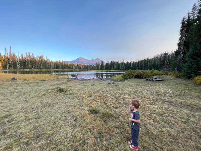
“The best spot with a beautiful view, but accessible only in the end of summer as it is a creekbed.”
Scott Lake Campground, OR · photographed October 2022