After the 2020 fires
In the summer and fall of 2019 we photographed these campgrounds site by site. On Labor Day 2020, the Riverside Fire burned down the Clackamas and the Beachie Creek Fire through the Santiam Canyon. This is what has happened to each of them since, from the land managers' own pages, checked October 2026.
3 reopened after the 2020 fires, and the 2026 Austin Fire closed 2 of them again. 4 have been closed since 2020.
Two Fridays on the Clackamas
We photographed seven of the eight campgrounds on this page, and Promontory Park below them, on two Fridays in July 2019, one after another up the same road. The times are from the photos themselves. Fourteen months later the Riverside Fire burned down that river; in 2026 the Austin Fire closed it again.
We stopped between them, too, at the places people camp outside any campground: fifteen of them, on their own page.
Friday, July 19, 2019
- 10:14 a.m. Promontory Park Campground, 26 photos · now open; in 2021 it was the last one open up the river
- 11:28 a.m. Lazy Bend Campground, 20 photos · now closed since the 2020 fire
- 12:46 p.m. Armstrong Campground, 7 photos · now reopened after the 2020 fire; closed for a time by the 2026 Austin Fire
Friday, July 26, 2019
- 12:20 p.m. Fish Creek Campground, 20 photos · now closed since the 2020 fire
- 1:26 p.m. Roaring River Campground, 5 photos · now closed since the 2020 fire
- 2:01 p.m. Sunstrip Campground, 8 photos · now closed since the 2020 fire
- 3:02 p.m. Ripplebrook Campground, 8 photos · now reopened after the 2020 fire; closed again by the 2026 Austin Fire
- 4:35 p.m. Lake Harriet Campground, 2 photos · now closed for 2026 after the Austin Fire
Reopened
Armstrong Campground
Reopened after the 2020 Riverside Fire; closed for a time by the 2026 Austin Fire
The Forest Service repaired it and a concessionaire runs it now. First come, first served, in season.
In late August 2026 the Austin Fire closure took in the campgrounds east of Carter Bridge, Armstrong among them. Highway 224 reopened west of Fish Creek on September 17; the Forest Service’s page for Armstrong still showed it closed in October.
Ripplebrook Campground
Reopened after the 2020 Riverside Fire; closed again by the 2026 Austin Fire
Open late May to September, first come, first served. The Forest Service warns that some sites don’t have much shade yet, so bring a canopy.
In late August 2026 the Austin Fire closure took in the campgrounds east of Carter Bridge, Ripplebrook among them. In September the closure was pulled back to just beyond Ripplebrook; the Forest Service’s page for it still shows it closed. Check before you go next year.
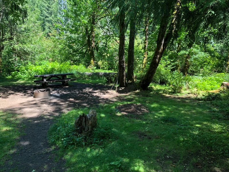
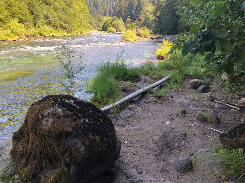
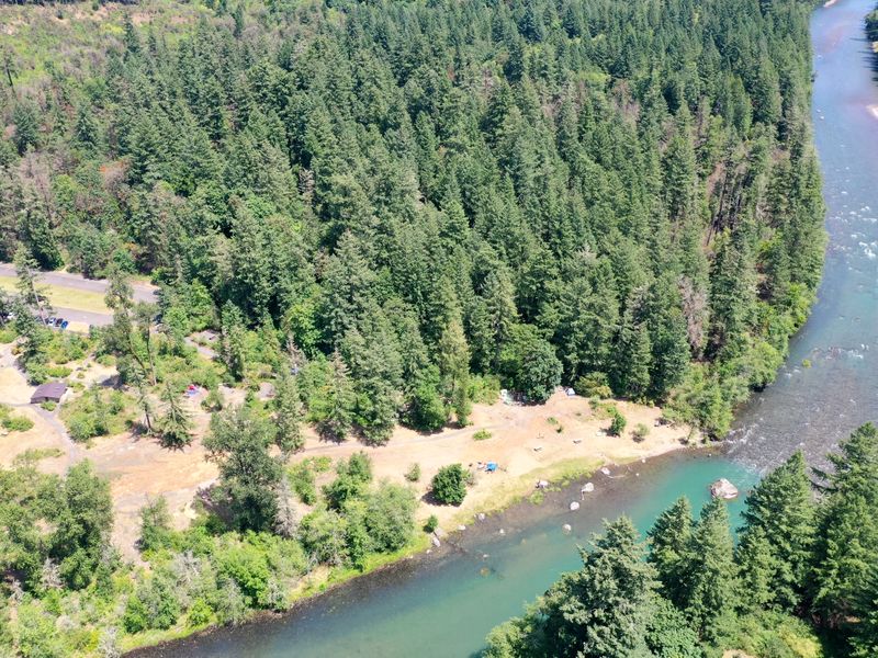
North Santiam State Recreation Area
Burned in the 2020 Beachie Creek Fire, reopened since
The fire burned straight through the campground. Oregon State Parks has reopened its Santiam Canyon parks since.
Still closed
Sunstrip Campground
Closed since the 2020 Riverside Fire
The fire badly damaged the campground. The Forest Service is redesigning it and plans to start construction in 2027.
Roaring River Campground
Closed since the 2020 Riverside Fire
The fire badly damaged the campground. The Forest Service is redesigning it and plans to start construction in 2027.
Lazy Bend Campground
Closed since the 2020 Riverside Fire
The fire damaged the campground extensively, and the Forest Service says repairs are ongoing. It is one of the Upper Clackamas campgrounds being redesigned, with construction planned to start in 2027, and not among those repaired and reopened.
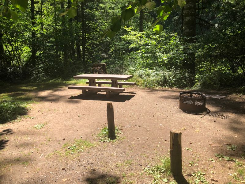
Fish Creek Campground
Closed since the 2020 Riverside Fire
Recreation.gov says the campground is closed because of the fire. It is part of the Forest Service’s redesign of the Upper Clackamas campgrounds, with construction planned to start in 2027.
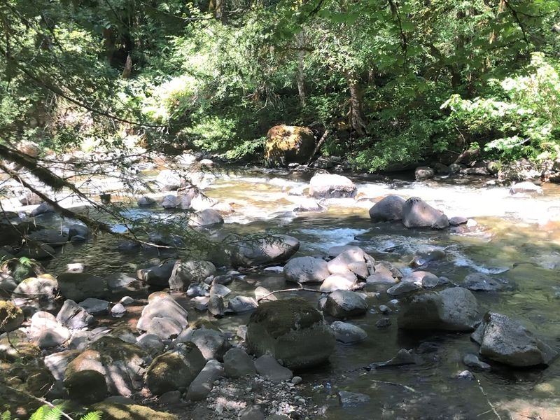
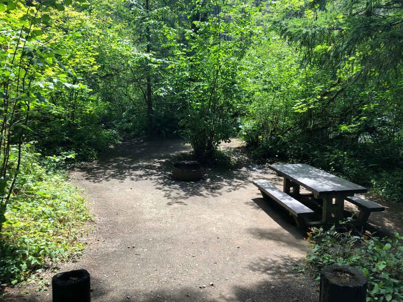
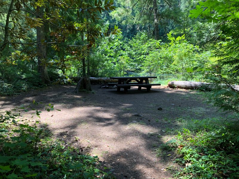
Six years later: the Austin and Narrows fires
In August 2026 the Clackamas River Ranger District burned again. By late August the Austin Fire, in the forest southeast of Estacada, had burned more than 9,000 acres, and with The Narrows Fire it closed Lake Harriet, Timothy Lake, Bagby Hot Springs and the campgrounds along the Clackamas east of Carter Bridge, under Level 3 evacuation orders (OPB). Sunstrip, Roaring River and Fish Creek, still closed from 2020, were inside it too. Officials said both fires were caused by people.
On September 17 the closure was pulled back to just beyond Ripplebrook, and Highway 224 reopened west of Fish Creek; Lake Harriet and several campgrounds at Timothy Lake stayed closed for the season (KXL). On October 16 the Forest Service reduced the closure again, to the forest south of the junction of Highway 224 and Forest Road 57, with Riverford, Riverside, Rainbow and Raab campgrounds inside it. It runs to December 31, 2026, unless it is lifted sooner (Forest Service alerts).
Armstrong Campground
Reopened after the 2020 Riverside Fire; closed for a time by the 2026 Austin Fire
The Forest Service repaired it and a concessionaire runs it now. First come, first served, in season.
In late August 2026 the Austin Fire closure took in the campgrounds east of Carter Bridge, Armstrong among them. Highway 224 reopened west of Fish Creek on September 17; the Forest Service’s page for Armstrong still showed it closed in October.
Ripplebrook Campground
Reopened after the 2020 Riverside Fire; closed again by the 2026 Austin Fire
Open late May to September, first come, first served. The Forest Service warns that some sites don’t have much shade yet, so bring a canopy.
In late August 2026 the Austin Fire closure took in the campgrounds east of Carter Bridge, Ripplebrook among them. In September the closure was pulled back to just beyond Ripplebrook; the Forest Service’s page for it still shows it closed. Check before you go next year.
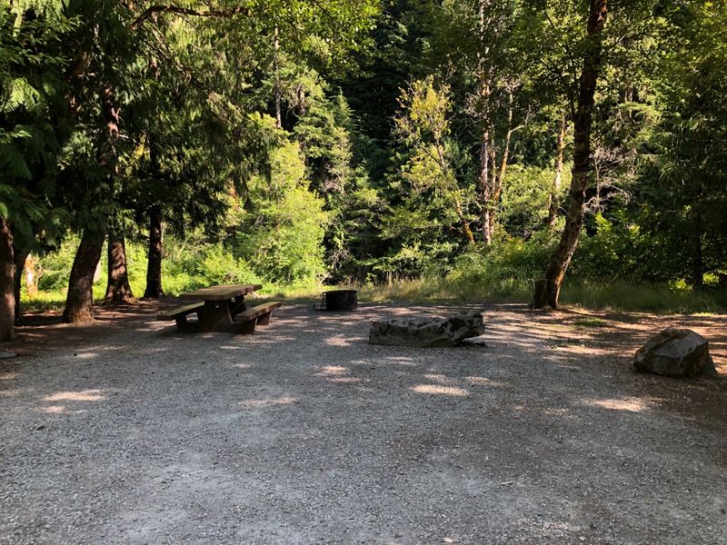
Lake Harriet Campground
Closed for 2026 after the Austin Fire
In late August 2026 the Austin Fire closure took in Lake Harriet. The closure was pulled back in September, but the campground stayed closed for the rest of the season.
What comes next on the Clackamas
The Forest Service is redesigning seven of the Upper Clackamas campgrounds the Riverside Fire burned, Fish Creek, Roaring River, Sunstrip and Lazy Bend among them. Public meetings in 2025 shaped the first designs; the plan is to finish them in 2026 and start construction in 2027, and the Forest Service is still looking for the money to build them. The redesign project.
Older fires, grown back
Fire is not new to these forests, and some of the places on our map are what it left behind.
- 1902, the Yacolt Burn. Dozens of fires burned nearly 239,000 acres of southwest Washington and killed 38 people. The state forest carries the name, and the tall even firs at Cold Creek and Rock Creek are the forest that grew back.
- 2003, the B&B Complex. The fires burned the forest around Suttle Lake, in spots down to its southern shore; our 2019 photos of Blue Bay show green forest around the sites.
- 2011, the Dollar Lake Fire. Lightning burned about 6,300 acres of the Mt Hood Wilderness, Vista Ridge among them; at Dollar Lake itself, seven years on, the firs stand green.
Why we keep them on the map
A photo of a riverside site from 2019, shown as if it were today, would send someone to a campground that is not there. So every page here says what happened and when we checked. But we did not want to take them down either: for anyone who camped there, these are the places as they were, and the redesigned campgrounds are planned for the same ground.
If you have been to one of them since, tell us what it is like now: support@tentspots.com.