Dispersed camping on the Clackamas, before the fire
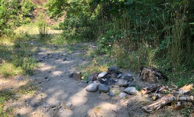
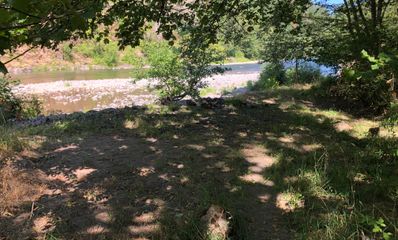
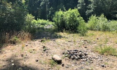
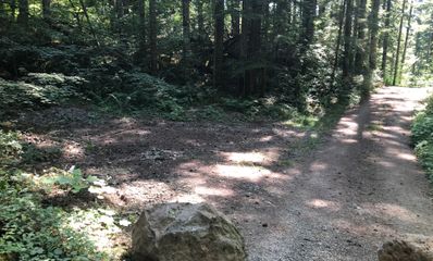
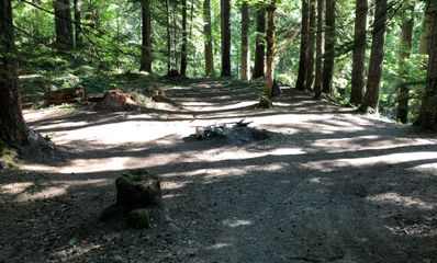
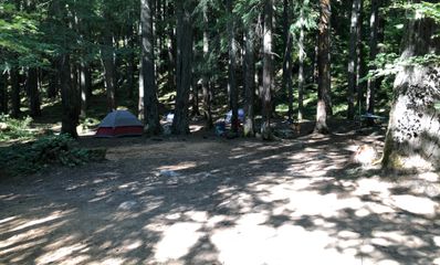
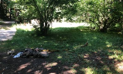
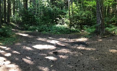
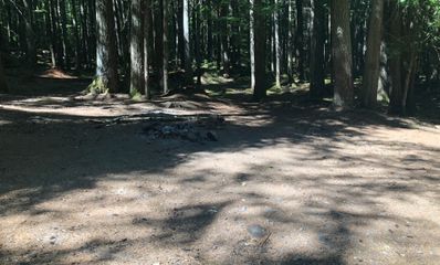
On the two Fridays in July 2019 that we spent photographing the campgrounds up the Clackamas, we stopped between them too, at the places by the road where people camp outside any campground. These are the fifteen we photographed on national forest land, nearly all of them in 360°: clearings on the bank below the highway, a grassy rise, a one-person fishing spot, and a few in the tall timber past Ripplebrook.
Fourteen months later the Riverside Fire burned across this ranger district, more than a hundred thousand acres of it, and in 2026 the Austin Fire closed part of it again. Our photos show what was there in July 2019, not what is there now; some of these places may look very different.
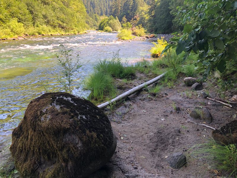
- “Cute one person fishing spot. Be extremely careful about the water level and rain forecast.”
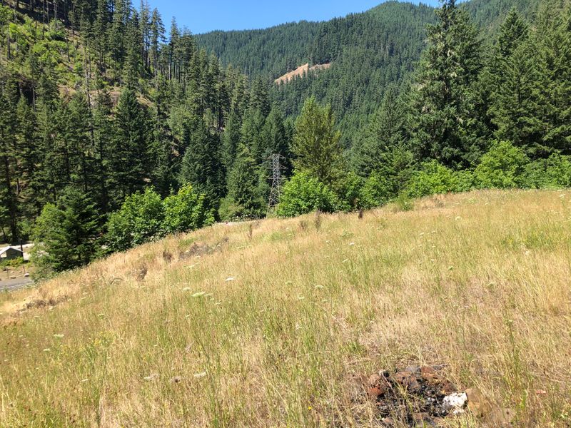
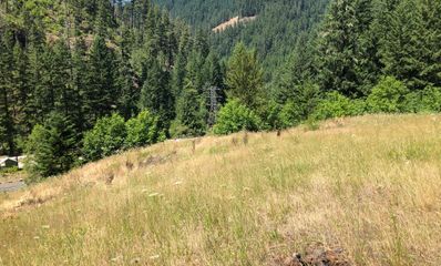
- “Fine spot on the high grounds. It is not much but the grass made for pleasant sleep.”
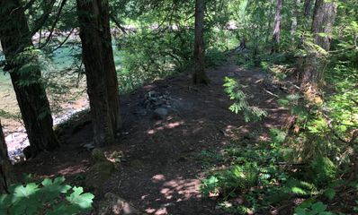
- “Hidden in the woods. Perfect when Harriet lake does not work out.”
- “Fine to spend a night.”
Along Highway 224, from the South Fork to Roaring River 5
Clearings on the bank just below the highway, three of them together near where the South Fork comes in, and one on the grassy rise our note calls the high ground.
Below Ripplebrook 4
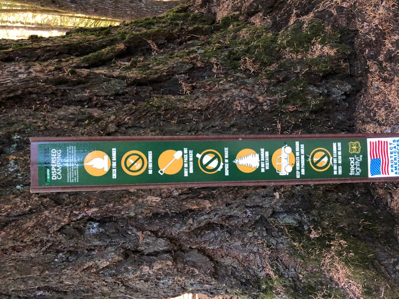
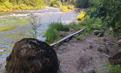
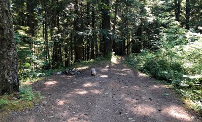
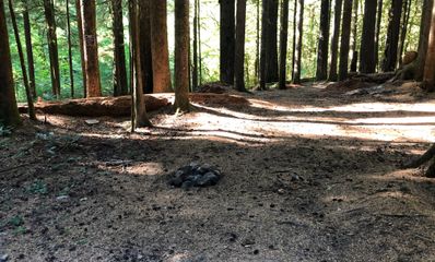
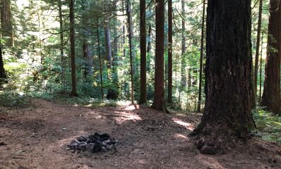
A small spot right at the water off Forest Road 4620, and three in tall timber by Bull Creek, just off the highway. In our photo, one of them has a Forest Service post marking it for dispersed camping.
Past Ripplebrook, toward Lake Harriet 6
Three in the woods east of Ripplebrook, and three on Forest Road 4630 near Lake Harriet, which our note keeps for when the lake does not work out. Lake Harriet was closed for 2026 after the Austin Fire; check the closure map before you go past Ripplebrook.
The rules
- Dispersed camping is allowed on most of the forest, the Forest Service says, but not within developed recreation sites, along certain roads or in particularly sensitive areas; the Clackamas River Ranger District can tell you where.
- Stay in one place up to 14 days in a row, and no more than 28 days a year on the forest.
- Camp at least 100 feet from streams, rivers and lakes. By the map the fishing spot below Ripplebrook is about 90 feet from the river, so pitch back from the water, and, as our note says, watch the water level and the rain forecast.
- In October 2026 the Forest Service closed the forest south of the junction of Highway 224 and Forest Road 57, at Ripplebrook, for the Austin and Narrows fires, through December 31 unless lifted sooner. Check the closure map before you go to the spots past Ripplebrook.
- Forest Roads 45 (Memaloose Road) and 54 are closed to vehicles from Highway 224 for roadside danger trees; none of these spots is on them.
- As of September 23, 2026 the forest had no fire restrictions. Check again before you go, and never leave a fire.
If you would rather have a campground
- Promontory Park Campground (below all of these, open in summer by reservation)
- Armstrong Campground (on the river, at Fish Creek; reopened after the 2020 fire; closed for a time by the 2026 Austin Fire)
- After the 2020 fires (what happened to every campground on this river)
15 spots, photographed in July 2019, a year before the fire. Distances are straight lines from each pin to the Clackamas or the Oak Grove Fork. Checked October 2026 with Forest Service: Mt Hood dispersed camping, Forest Service: Clackamas River RD fires closure, Forest Service: roadside danger trees closure, Forest Service: Upper Clackamas campground redesign and OpenStreetMap (the Clackamas River). Been there since? Tell us what has changed: support@tentspots.com.